alb4087086
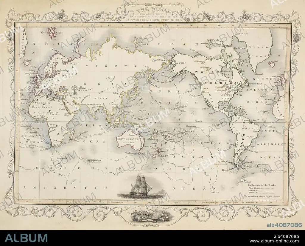
A map of the world showing the voyages of Captain Cook. Tallis's Illustrated Atlas, and Modern History of the World, Geographical, Political, Commercial, and Statistical. Edited by R. Montgomery Martin. London : John Tallis and Co., 1851. Source: Maps 5.e.25, map 1. Language: English.
| Teilen |
|---|
 Pinterest Pinterest |
 Twitter Twitter |
 Facebook Facebook |
 Link kopieren Link kopieren |
 Email Email |
|
Zu einem anderen Lightbox hinzufügen |
|
Zu einem anderen Lightbox hinzufügen |


Haben Sie bereits ein Konto? Anmelden
Sie haben kein Konto? Registrieren
Dieses Bild kaufen.
Nutzung auswählen:

Untertitel:
Siehe automatische Übersetzung
A map of the world showing the voyages of Captain Cook. Tallis's Illustrated Atlas, and Modern History of the World, Geographical, Political, Commercial, and Statistical. Edited by R. Montgomery Martin. London : John Tallis and Co., 1851. Source: Maps 5.e.25, map 1. Language: English.
Persönlichkeiten:
Bildnachweis:
Album / British Library
Freigaben (Releases):
Model: Nein - Eigentum: Nein
Rechtefragen?
Rechtefragen?
Bildgröße:
5424 x 4083 px | 63.4 MB
Druckgröße:
45.9 x 34.6 cm | 18.1 x 13.6 in (300 dpi)
Schlüsselwörter:
BERÜHMT • BERÜHMTE PERSÖNLICHKEIT • COOK, JAMES • ENTDECKER • ERKUNDUNG • FORSCHER • KARTE (KARTHOGRAFIE) • KARTEN • KARTHOGRAFIE • KARTHOGRAPHIE • KARTOGRAFIE (KARTE) • KARTOGRAPHIE • LANDKARTE • LEUTE • MENSCHEN • PERSöNLICHKEITEN • PERSÖNLICHKEITEN • PLAN (KARTOGRAPHIE) • PROMINENZ • REISE • REISENDER • WALZ • WELT • WELTKARTE • WISSENSCH.: KARTOGRAPHIE • WISSENSCHAFT: ENTDECKER • WISSENSCHAFT: FORSCHER
