alb4087086
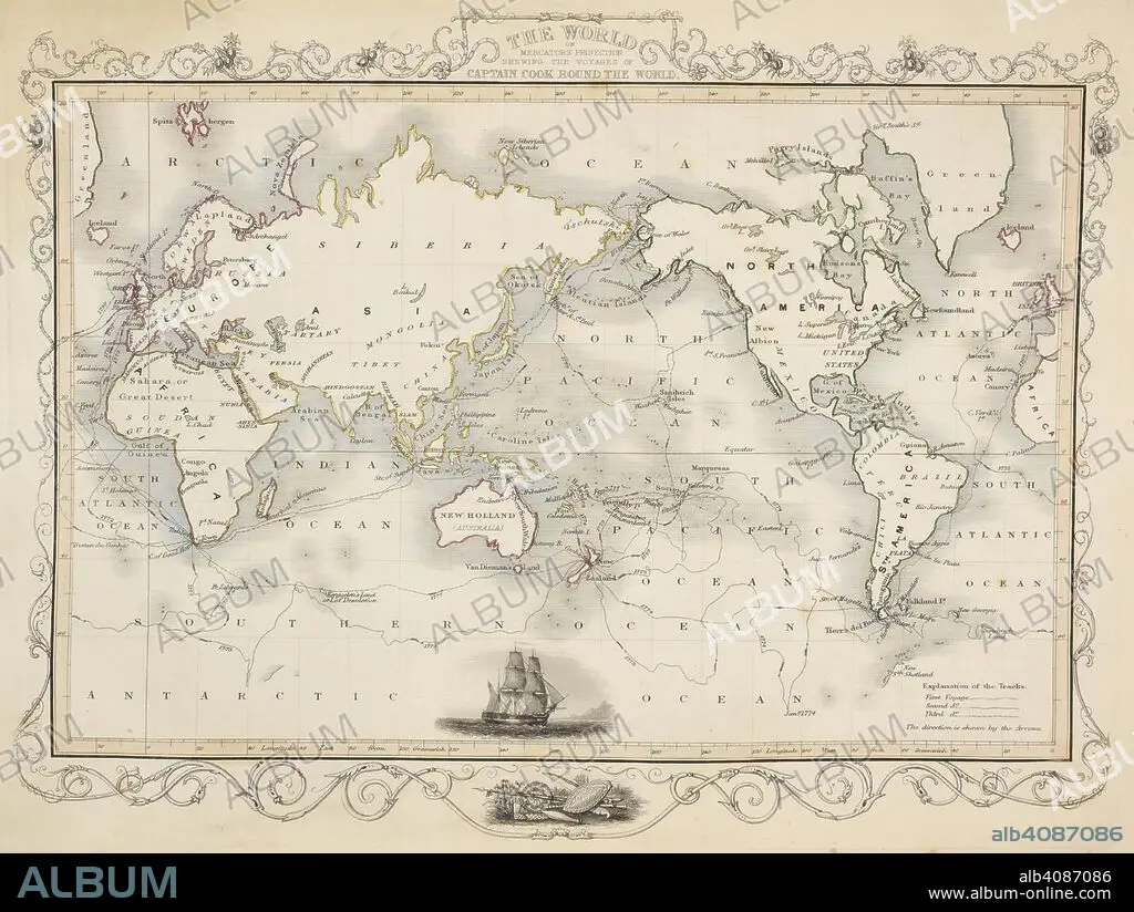
A map of the world showing the voyages of Captain Cook. Tallis's Illustrated Atlas, and Modern History of the World, Geographical, Political, Commercial, and Statistical. Edited by R. Montgomery Martin. London : John Tallis and Co., 1851. Source: Maps 5.e.25, map 1. Language: English.
| Share |
|---|
 Pinterest Pinterest |
 Twitter Twitter |
 Facebook Facebook |
 Copy link Copy link |
 Email Email |
|
Add to another lightbox |
|
Add to another lightbox |


Buy this image.
Select the use:

Caption:
A map of the world showing the voyages of Captain Cook. Tallis's Illustrated Atlas, and Modern History of the World, Geographical, Political, Commercial, and Statistical. Edited by R. Montgomery Martin. London : John Tallis and Co., 1851. Source: Maps 5.e.25, map 1. Language: English.
Personalities:
Credit:
Album / British Library
Releases:
Model: No - Property: No
Rights questions?
Rights questions?
Image size:
5424 x 4083 px | 63.4 MB
Print size:
45.9 x 34.6 cm | 18.1 x 13.6 in (300 dpi)
Keywords:
19 CENTURY • 19TH CENTURY • 19TH CENTURY. • 19TH • 19TH-CENTURY • CAPTAIN COOK • CARTE • CARTOGRAPHIC • CARTOGRAPHY • CELEBRITIES • CELEBRITY • COOK, JAMES • DISCOVERER • EXPLORATION • EXPLORE • EXPLORER • EXPLORING • FAMOUS PEOPLE • FAMOUS • HUMANS • JAMES • JOURNEY • JOURNEYMAN'S TRAVEL • JOURNEYMAN'S TRAVELS • LEISURE • MAP MAKING • MAP OF THE WORLD • MAP • MAPS • NAMED PEOPLE • NINETEENTH CENTURY • PEOPLE • PERSONALITIES • PLAN (CARTOGRAPHY) • RESEARCHER (MALE) • RESEARCHER • THRIP • TRAVEL • TRAVELING • TRAVELLING • TRAVELS • TRIP • TRIPS • VOYAGE • WORLD MAP • WORLD • XIX CENTURY
