alb4087086
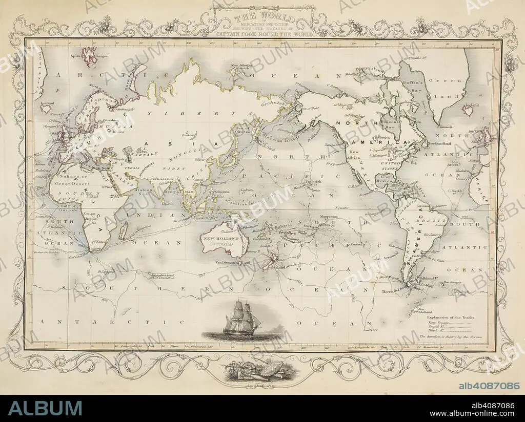
A map of the world showing the voyages of Captain Cook. Tallis's Illustrated Atlas, and Modern History of the World, Geographical, Political, Commercial, and Statistical. Edited by R. Montgomery Martin. London : John Tallis and Co., 1851. Source: Maps 5.e.25, map 1. Language: English.
| Partager |
|---|
 Pinterest Pinterest |
 Twitter Twitter |
 Facebook Facebook |
 Copier le lien Copier le lien |
 Email Email |
|
Ajouter à une autre Lightbox |
|
Ajouter à une autre Lightbox |


Avez-vous déjà un compte? S'identifier
Vous n'avez pas de compte ? S'inscrire
Acheter cette image.
Sélectionnez l'usage:

Légende:
Voir la traduction automatique
A map of the world showing the voyages of Captain Cook. Tallis's Illustrated Atlas, and Modern History of the World, Geographical, Political, Commercial, and Statistical. Edited by R. Montgomery Martin. London : John Tallis and Co., 1851. Source: Maps 5.e.25, map 1. Language: English.
Personnalités:
Crédit:
Album / British Library
Autorisations:
Modèle: Non - Propriété: Non
Questions sur les droits?
Questions sur les droits?
Taille de l'image:
5424 x 4083 px | 63.4 MB
Taille d'impression:
45.9 x 34.6 cm | 18.1 x 13.6 in (300 dpi)
Mots clés:
CARTE (GEOGRAPHIE) • CARTE GEOGRAPHIQUE • CARTE • CARTOGRAPHIE • CÉLÈBRE • CELEBRITE • CHERCHEUR • COOK, JAMES • DECOUVREUR • DESSIN PLANS • EXPLORATEUR • EXPLORATION • GENS • MAPPEMONDE • MONDE • PERSONNAGES • PERSONNALITÉS • PLAN (CARTOGRAPHIE) • PLANISPHERE • PLANS • SCIENCE: CARTOGRAPHIE • TRANSPORT VOYAGE • TRAVERSÉE • VOYAGE • XIXE SIÈCLE
