alb4184159
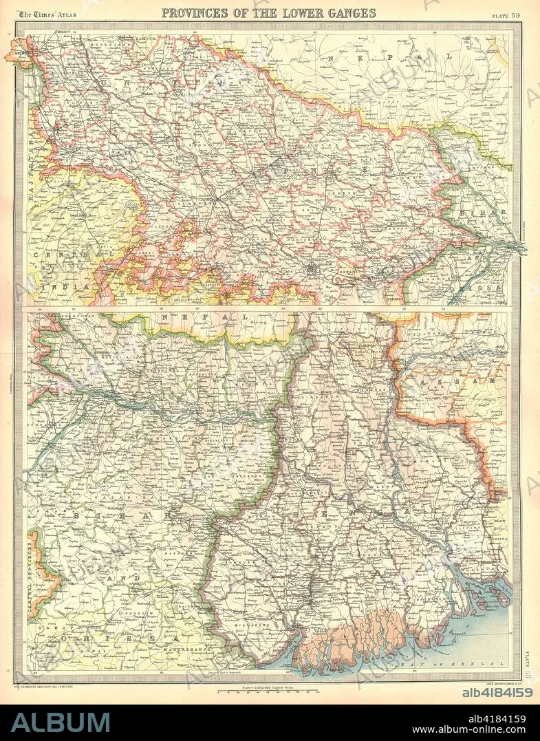
Map of the Provinces of the Lower Ganges. Artist: Unknown.
| Teilen |
|---|
 Pinterest Pinterest |
 Twitter Twitter |
 Facebook Facebook |
 Link kopieren Link kopieren |
 Email Email |
|
Zu einem anderen Lightbox hinzufügen |
|
Zu einem anderen Lightbox hinzufügen |


Haben Sie bereits ein Konto? Anmelden
Sie haben kein Konto? Registrieren
Dieses Bild kaufen.
Nutzung auswählen:

Titel:
Map of the Provinces of the Lower Ganges. Artist: Unknown.
Untertitel:
Siehe automatische Übersetzung
Map of the Provinces of the Lower Ganges. Map in two sections, showing Indian states through which the River Ganges flows, and the Ganges Delta in what is now Bangladesh. Plate 59 from The Times Atlas.
Bildnachweis:
Album / Heritage Images / The Print Collector
Freigaben (Releases):
Model: Nein - Eigentum: Nein
Rechtefragen?
Rechtefragen?
Bildgröße:
3550 x 4632 px | 47.0 MB
Druckgröße:
30.1 x 39.2 cm | 11.8 x 15.4 in (300 dpi)
Schlüsselwörter:
