alb4946376
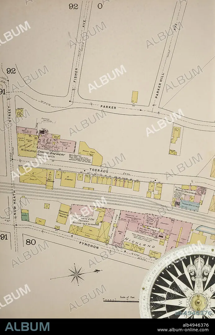
Image 37 of Sanborn Fire Insurance Map from Boston, Suffolk County, Massachusetts. Vol. 3, 1888. 81 Sheet(s). Includes Roxbury, West Roxbury, Parts of Brighton, Brookline. Double-paged plates numbered 62-100. Bound, America, street map with a Nineteenth Century compass.
| Teilen |
|---|
 Pinterest Pinterest |
 Twitter Twitter |
 Facebook Facebook |
 Link kopieren Link kopieren |
 Email Email |
|
Zu einem anderen Lightbox hinzufügen |
|
Zu einem anderen Lightbox hinzufügen |


Haben Sie bereits ein Konto? Anmelden
Sie haben kein Konto? Registrieren
Dieses Bild kaufen

Untertitel:
Siehe automatische Übersetzung
Image 37 of Sanborn Fire Insurance Map from Boston, Suffolk County, Massachusetts. Vol. 3, 1888. 81 Sheet(s). Includes Roxbury, West Roxbury, Parts of Brighton, Brookline. Double-paged plates numbered 62-100. Bound, America, street map with a Nineteenth Century compass
Bildnachweis:
Album / quintlox
Freigaben (Releases):
Model: Nein - Eigentum: Nein
Rechtefragen?
Rechtefragen?
Bildgröße:
4500 x 6647 px | 85.6 MB
Druckgröße:
38.1 x 56.3 cm | 15.0 x 22.2 in (300 dpi)
Schlüsselwörter:
AMERIKA • AMERIKA, KONTINENT • AMERIKANISCH (US) • AUßEN • DRAUßEN • GEOGRAFIE • GEOGRAPHIE • IM FREIEN (ALLGEMEIN) • JAHRGANG • KARTHOGRAFIE • KARTOGRAFIE (KARTE) • KARTOGRAPHIE • KONTINENT: AMERIKA • REISE • REISENDER • STADT • STRASSE • STÄDTE • US-AMERIKANISCH • USA • USA-VEREINIGE STAATEN • WALZ • WISSENSCH.: KARTOGRAPHIE
