alb2603576
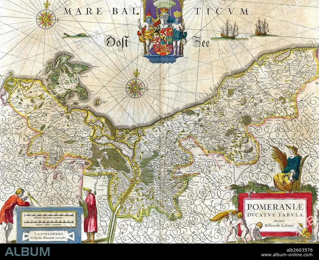
Map of the historical Duchy of Pomerania.
| Teilen |
|---|
 Pinterest Pinterest |
 Twitter Twitter |
 Facebook Facebook |
 Link kopieren Link kopieren |
 Email Email |
|
Zu einem anderen Lightbox hinzufügen |
|
Zu einem anderen Lightbox hinzufügen |


Haben Sie bereits ein Konto? Anmelden
Sie haben kein Konto? Registrieren
Dieses Bild kaufen.
Nutzung auswählen:

Titel: Map of the historical Duchy of Pomerania.
Untertitel: Siehe automatische Übersetzung
Map of the historical Duchy of Pomerania. The Duchy of Pomerania 12th century – 1637 was a duchy in Pomerania on the southern coast of the Baltic Sea, ruled by dukes of the House of Pomerania (Griffins). Dated 1635.
Map of the historical Duchy of Pomerania. The Duchy of Pomerania 12th century – 1637 was a duchy in Pomerania on the southern coast of the Baltic Sea, ruled by dukes of the House of Pomerania (Griffins). Dated 1635.
Bildnachweis: Album / Universal Images Group / Universal History Archive
Freigaben (Releases): ? Modellfreigabe: Nein - ? Eigentumsfreigabe: Nein
Rechtefragen?
Rechtefragen?
Bildgröße: 5100 × 3893 px | 56.8 MB
Druckgröße: 43.2 × 33.0 cm | 2007.9 × 1532.7 in (300 dpi)
Schlüsselwörter: 17. JAHRHUNDERT • 17. JH. • DEUTSCHLAND • KARTE (KARTHOGRAFIE) • KARTEN • KARTHOGRAPHIE • KOMMUNISMUS: POLEN • LANDKARTE • NACHKRIEG: POLEN • PLAN (KARTOGRAPHIE) • POLEN: KOMMUNISMUS
