alb2590714
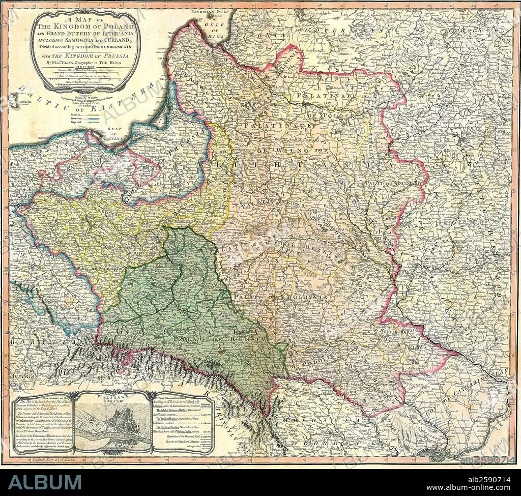
Map of the Partition of the Kingdom of Poland and the Grand Duchy of Lithuania.
| Teilen |
|---|
 Pinterest Pinterest |
 Twitter Twitter |
 Facebook Facebook |
 Link kopieren Link kopieren |
 Email Email |
|
Zu einem anderen Lightbox hinzufügen |
|
Zu einem anderen Lightbox hinzufügen |


Haben Sie bereits ein Konto? Anmelden
Sie haben kein Konto? Registrieren
Dieses Bild kaufen.
Nutzung auswählen:

Titel: Map of the Partition of the Kingdom of Poland and the Grand Duchy of Lithuania.
Untertitel: Siehe automatische Übersetzung
Map of the Partition of the Kingdom of Poland and the Grand Duchy of Lithuania. Dated 1799
Map of the Partition of the Kingdom of Poland and the Grand Duchy of Lithuania. Dated 1799
Bildnachweis: Album / Universal Images Group / Universal History Archive/UIG
Freigaben (Releases): ? Modellfreigabe: Nein - ? Eigentumsfreigabe: Nein
Rechtefragen?
Rechtefragen?
Bildgröße: 4827 × 4344 px | 60.0 MB
Druckgröße: 40.9 × 36.8 cm | 1900.4 × 1710.2 in (300 dpi)
Schlüsselwörter: 18. JAHRHUNDERT • 18. JH. • KARTE (KARTHOGRAFIE) • KARTEN • KARTHOGRAPHIE • KOMMUNISMUS: POLEN • KÖNIGREICH • LANDKARTE • NACHKRIEG: POLEN • PLAN (KARTOGRAPHIE) • POLEN: KOMMUNISMUS
