alb1657672
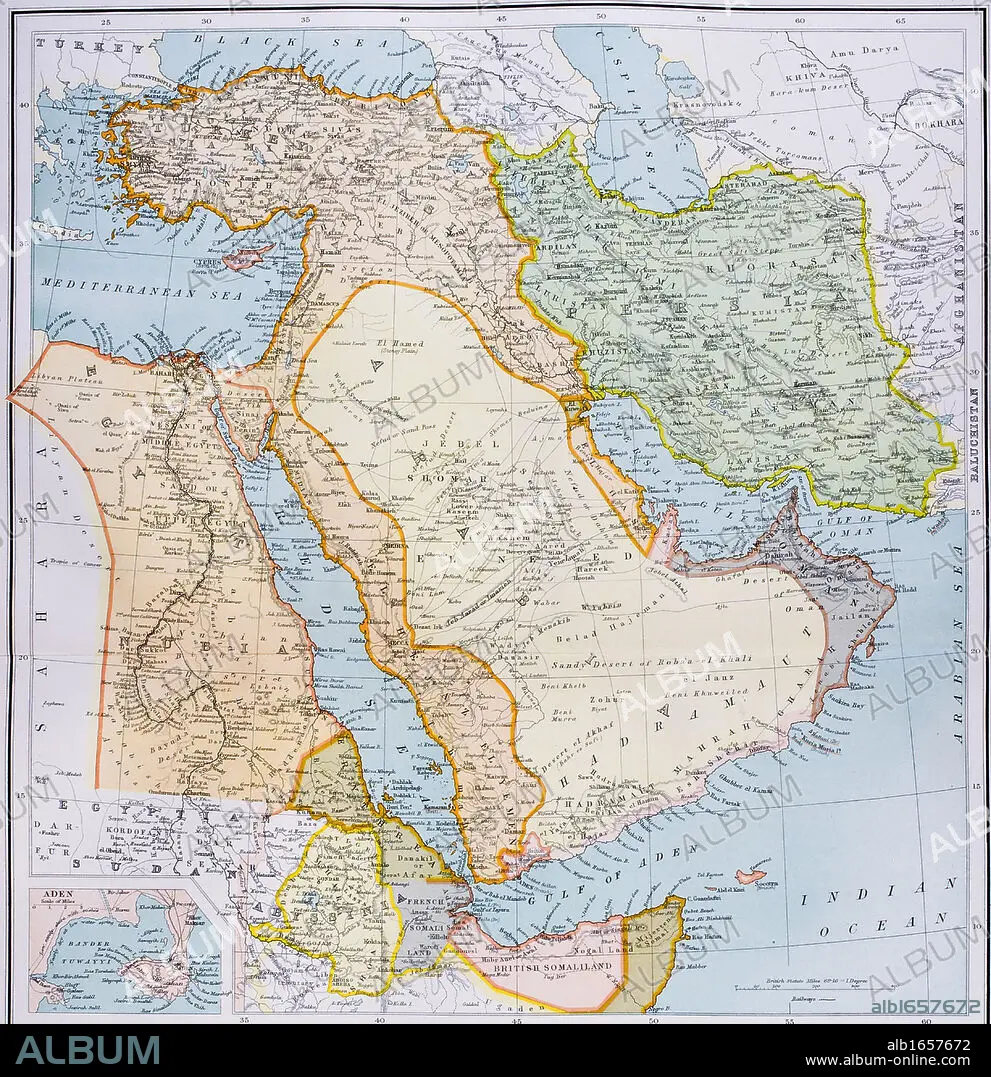
Map of Turkey Middle East Horn of Africa and Persian Gulf in 1890s From The Citizen's Atlas of the World published London circa 1899.
| Teilen |
|---|
 Pinterest Pinterest |
 Twitter Twitter |
 Facebook Facebook |
 Link kopieren Link kopieren |
 Email Email |
|
Zu einem anderen Lightbox hinzufügen |
|
Zu einem anderen Lightbox hinzufügen |


Haben Sie bereits ein Konto? Anmelden
Sie haben kein Konto? Registrieren
Dieses Bild kaufen

Untertitel:
Siehe automatische Übersetzung
Map of Turkey Middle East Horn of Africa and Persian Gulf in 1890s From The Citizen's Atlas of the World published London circa 1899
Bildnachweis:
Album / Universal History Archive/Universal Images Group
Freigaben (Releases):
Model: Nein - Eigentum: Nein
Rechtefragen?
Rechtefragen?
Bildgröße:
4341 x 4485 px | 55.7 MB
Druckgröße:
36.8 x 38.0 cm | 14.5 x 14.9 in (300 dpi)
Schlüsselwörter:
AEGYPTEN • AFRIKA • FARBE • FARBIG • IRAK • IRAN • KARTE (KARTHOGRAFIE) • KARTEN • KARTHOGRAPHIE • KEN • LANDKARTE • MEER • MEERE • MYTHEN: PERSISCH • ORIENT • OST • OSTEN • OZEAN • PERSISCH • PERSISCHE MYTHEN • PERSISCHE • PLAN (KARTOGRAPHIE) • ROT • SEA • SEESTUECK (GEMAELDE) • TÜRKEI • VERTIKALE • ÄGYPTEN
