alb5412662
Joan Blaeu, Poland Map, 17th Century
| Teilen |
|---|
 Pinterest Pinterest |
 Twitter Twitter |
 Facebook Facebook |
 Link kopieren Link kopieren |
 Email Email |
|
Zu einem anderen Lightbox hinzufügen |
|
Zu einem anderen Lightbox hinzufügen |


Haben Sie bereits ein Konto? Anmelden
Sie haben kein Konto? Registrieren
Dieses Bild kaufen.
Nutzung auswählen:

Titel:
Joan Blaeu, Poland Map, 17th Century
Untertitel:
Siehe automatische Übersetzung
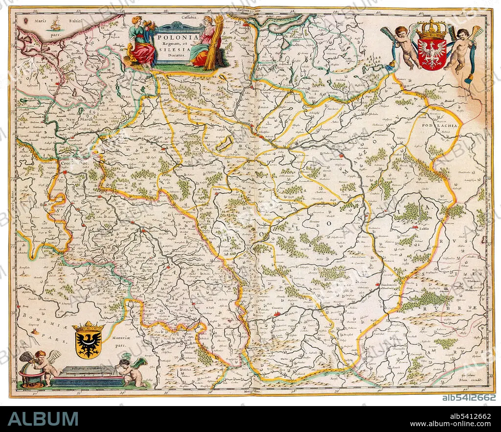
The Kingdom of Poland was founded in 1025, and in 1569 it cemented its longstanding political association with the Grand Duchy of Lithuania by signing the Union of Lublin. This union formed the Polish-Lithuanian Commonwealth, one of the largest and most populous countries of 16th and 17th century Europe, with a uniquely liberal political system which adopted Europe's first written national constitution in 1791. Joan Blaeu (1596-1673) was a Dutch cartographer, the son of cartographer Willem Blaeu. In 1635 they published the Atlas Novus (full title: Theatrum orbis terrarum, sive, Atlas novus) in two volumes. The Atlas Maior is the final version of Joan Blaeu's atlas, published in Amsterdam between 1662 and 1672, in Latin, French, Dutch, German and Spanish, containing 594 maps and around 3,000 pages of text. The Blaeu maps emphasized fine art and colours, being the most expensive of the time.
Bildnachweis:
Album / Science Source
Freigaben (Releases):
Bildgröße:
5608 x 4544 px | 72.9 MB
Druckgröße:
47.5 x 38.5 cm | 18.7 x 15.1 in (300 dpi)
Schlüsselwörter:
