alb5474396
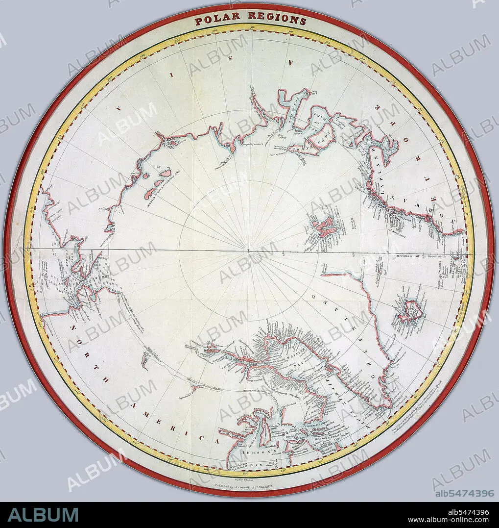
Map of the polar regions ca. 1822 Credit: UBC Library
| Teilen |
|---|
 Pinterest Pinterest |
 Twitter Twitter |
 Facebook Facebook |
 Link kopieren Link kopieren |
 Email Email |
|
Zu einem anderen Lightbox hinzufügen |
|
Zu einem anderen Lightbox hinzufügen |


Haben Sie bereits ein Konto? Anmelden
Sie haben kein Konto? Registrieren
Dieses Bild kaufen.
Nutzung auswählen:

Titel:
Map of the polar regions ca. 1822 Credit: UBC Library
Untertitel:
Siehe automatische Übersetzung
Map of the polar regions ca. 1822 Creator: Lizars, William Home, 1788-1859.
Bildnachweis:
Album / HUM Images/Universal Images Group
Freigaben (Releases):
Model: Nein - Eigentum: Nein
Rechtefragen?
Rechtefragen?
Bildgröße:
1991 x 2000 px | 11.4 MB
Druckgröße:
16.9 x 16.9 cm | 6.6 x 6.7 in (300 dpi)
Schlüsselwörter:
