alb3897649
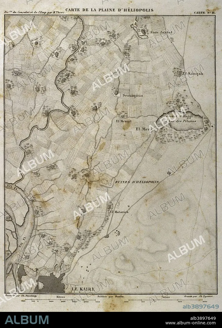
Map of Heliopolis (Egypt). On March 20, 1800, the Batlle of Heliopolis took place, with French victory, between France and the Ottoman Empire. Napoleonic campaign in Egypt. Atlas de l'Histoire du Consulat et de l'Empire. History of the Consulate and the Empire of France under Napoleon by Marie Joseph Louis Adolphe Thiers (1797-1877). Drawings by Dufour, engravings by Dyonnet. Edited in Paris, 1864.
| Teilen |
|---|
 Pinterest Pinterest |
 Twitter Twitter |
 Facebook Facebook |
 Link kopieren Link kopieren |
 Email Email |
|
Zu einem anderen Lightbox hinzufügen |
|
Zu einem anderen Lightbox hinzufügen |


Haben Sie bereits ein Konto? Anmelden
Sie haben kein Konto? Registrieren
Dieses Bild kaufen.
Nutzung auswählen:

Untertitel: Siehe automatische Übersetzung
Map of Heliopolis (Egypt). On March 20, 1800, the Batlle of Heliopolis took place, with French victory, between France and the Ottoman Empire. Napoleonic campaign in Egypt. Atlas de l'Histoire du Consulat et de l'Empire. History of the Consulate and the Empire of France under Napoleon by Marie Joseph Louis Adolphe Thiers (1797-1877). Drawings by Dufour, engravings by Dyonnet. Edited in Paris, 1864.
Map of Heliopolis (Egypt). On March 20, 1800, the Batlle of Heliopolis took place, with French victory, between France and the Ottoman Empire. Napoleonic campaign in Egypt. Atlas de l'Histoire du Consulat et de l'Empire. History of the Consulate and the Empire of France under Napoleon by Marie Joseph Louis Adolphe Thiers (1797-1877). Drawings by Dufour, engravings by Dyonnet. Edited in Paris, 1864.
Persönlichkeiten: NAPOLEON BONAPARTE (1769-1821)
Bildnachweis: Album / Prisma
Freigaben (Releases): ? Modellfreigabe: Nein - ? Eigentumsfreigabe: Nein
Rechtefragen?
Rechtefragen?
Bildgröße: 3366 × 4730 px | 45.6 MB
Druckgröße: 28.5 × 40.0 cm | 1325.2 × 1862.2 in (300 dpi)
Schlüsselwörter: ALT (ALTER) • ALTERTÜMLICH • ANTIK • ARMEE • ARMY • EBENE • EUROPA • EUROPAEER (F M) • EUROPAEER • EUROPÄER (F M) • EUROPÄER • EUROPÄISCH • FLUSS NIL • FRANKREICH • GEOGRAFIE • GEOGRAPHIE • GESCHICHTE • GRAVUR • HEER • HELIOPOLIS • HISTORISCH • KAIRO (EG) • KAIRO, STADTANSICHT (EG) • KARTE (KARTHOGRAFIE) • KARTEN • KARTHOGRAFIE • KARTHOGRAPHIE • KARTOGRAFIE (KARTE) • KARTOGRAPHIE • KRIEG, NAPOLEONISCH • LANDKARTE • MILITAER • MILITAR • MILITÄR • MILITÄRISCH • NAPOLEON BONAPARTE • NAPOLEONISCHE KRIEGE • NAPOLEONISCHER KRIEG • NIL, FLUSS • OSMANISCHES REICH • PARIS • PARIS, FRANKREICH • PLAN (KARTOGRAPHIE) • SCHLACHT VON BORODINO • SCHLACHT • SCHLACHTFELD • STICH (KUNST) • TECHNIK: ZEICHNUNG • WISSENSCH.: KARTOGRAPHIE • ZEICHNEN • ZEICHNUNG • ZEITGESCHICHTE
