alb2654798
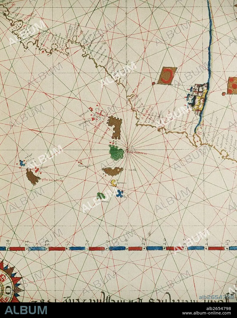
Portolan of Spanish cartographer Joan Martines (16th century). Majorcal school. 1587. Map of the Canary Islands and the west coast of Africa. Messina, Sicily. National Library. Madrid. Spain.
| Teilen |
|---|
 Pinterest Pinterest |
 Twitter Twitter |
 Facebook Facebook |
 Link kopieren Link kopieren |
 Email Email |
|
Zu einem anderen Lightbox hinzufügen |
|
Zu einem anderen Lightbox hinzufügen |


Haben Sie bereits ein Konto? Anmelden
Sie haben kein Konto? Registrieren
Dieses Bild kaufen.
Nutzung auswählen:

Untertitel: Siehe automatische Übersetzung
Portolan of Spanish cartographer Joan Martines (16th century). Majorcal school. 1587. Map of the Canary Islands and the west coast of Africa. Messina, Sicily. National Library. Madrid. Spain.
Portolan of Spanish cartographer Joan Martines (16th century). Majorcal school. 1587. Map of the Canary Islands and the west coast of Africa. Messina, Sicily. National Library. Madrid. Spain.
Bildnachweis: Album / Prisma
Freigaben (Releases): ? Modellfreigabe: Nein - ? Eigentumsfreigabe: Nein
Rechtefragen?
Rechtefragen?
Bildgröße: 3991 × 5083 px | 58.0 MB
Druckgröße: 33.8 × 43.0 cm | 1571.3 × 2001.2 in (300 dpi)
Schlüsselwörter: 16. JAHRHUNDERT • 16. JH. • AFRIKA • AMERIKA • AMERIKA, KONTINENT • AMERIKANERIN • AMERIKANISCH • ATLANTIK • ATLANTISCHER OZEAN • ENTDECKUNG • GEOGRAFIE • GEOGRAPHIE • GESCHICHTE • KARTE (KARTHOGRAFIE) • KARTEN • KARTHOGRAFIE • KARTHOGRAPHIE • KARTOGRAFIE (KARTE) • KARTOGRAPH • KARTOGRAPHIE • KONTINENT: AMERIKA • KUESTE • KUNST • KÜSTE • LANDKARTE • MARITIM • PLAN (KARTOGRAPHIE) • PORTOLANKARTE • SEEKARTE • SPANIEN • WISSENSCH.: KARTOGRAPHIE • ZEITGESCHICHTE
