alb4126198
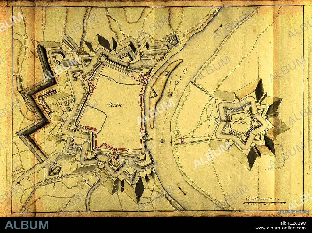
SAMUEL DU RY DE CHAMPDORÉ. Map of Venlo, ca. 1701-1715. Draughtsman: Samuel Du Ry de Champdoré. Dating: 1701 - 1715. Place: Netherlands. Measurements: h 527 mm × w 730 mm.
| Teilen |
|---|
 Pinterest Pinterest |
 Twitter Twitter |
 Facebook Facebook |
 Link kopieren Link kopieren |
 Email Email |
|
Zu einem anderen Lightbox hinzufügen |
|
Zu einem anderen Lightbox hinzufügen |


Haben Sie bereits ein Konto? Anmelden
Sie haben kein Konto? Registrieren
Dieses Bild kaufen

Autor:
Untertitel:
Siehe automatische Übersetzung
Map of Venlo, ca. 1701-1715. Draughtsman: Samuel Du Ry de Champdoré. Dating: 1701 - 1715. Place: Netherlands. Measurements: h 527 mm × w 730 mm.
Technik/Material:
PAPEL
Museum:
Rijksmuseum, Amsterdam
Standort:
NIEDERLANDE
Bildnachweis:
Album
Freigaben (Releases):
Model: Nein - Eigentum: Nein
Rechtefragen?
Rechtefragen?
Bildgröße:
6450 x 4484 px | 82.7 MB
Druckgröße:
54.6 x 38.0 cm | 21.5 x 14.9 in (300 dpi)
Schlüsselwörter:
