alb9843503
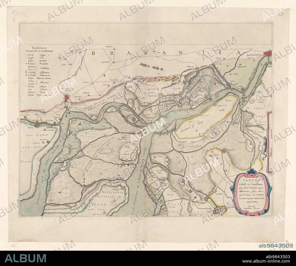
WILLEM BLAEU. Map of the surroundings of Zandvliet, 1642. Creator: Willem Blaeu.
| Teilen |
|---|
 Pinterest Pinterest |
 Twitter Twitter |
 Facebook Facebook |
 Link kopieren Link kopieren |
 Email Email |
|
Zu einem anderen Lightbox hinzufügen |
|
Zu einem anderen Lightbox hinzufügen |


Haben Sie bereits ein Konto? Anmelden
Sie haben kein Konto? Registrieren
Dieses Bild kaufen.
Nutzung auswählen:

Autor:
Titel:
Map of the surroundings of Zandvliet, 1642. Creator: Willem Blaeu.
Untertitel:
Siehe automatische Übersetzung
Map of the surroundings of Zandvliet, 1642. The north on the left, the borders coloured, cities, buildings and flags indicated. At the top left Explanation of the symbols on the map.
Bildnachweis:
Album / Heritage Art/Heritage Images
Freigaben (Releases):
Model: Nein - Eigentum: Nein
Rechtefragen?
Rechtefragen?
Bildgröße:
4974 x 4214 px | 60.0 MB
Druckgröße:
42.1 x 35.7 cm | 16.6 x 14.0 in (300 dpi)
