alb3909134
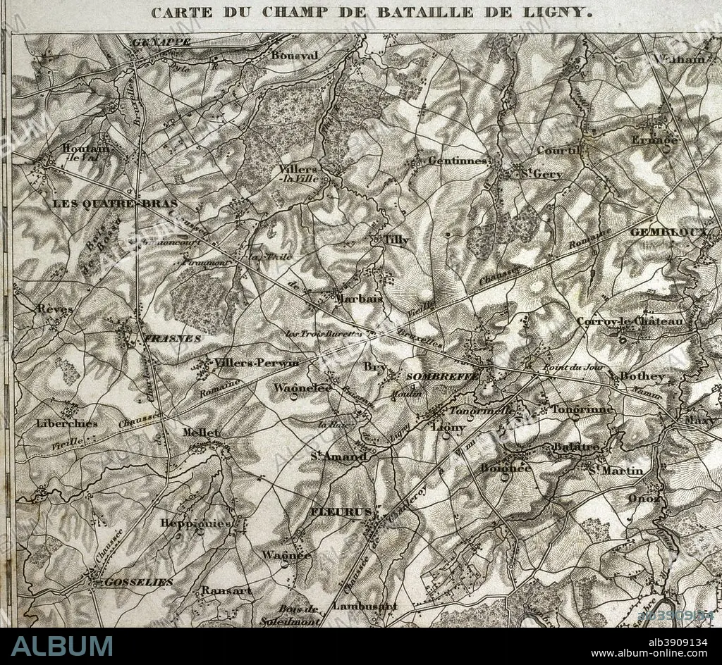
Map of the battlefield of Ligny, Belgium (16 June 1815). Part of the Waterloo Campaign. Commanders: France (Napoleon I), Prussia (Gebhard von Blucher). It was the last victory of Napoleon Bonaparte. Atlas de l'Histoire du Consulat et de l'Empire. History of the Consulate and the Empire of France under Napoleon by Marie Joseph Louis Adolphe Thiers (1797-1877). Drawings by Dufour, engravings by Dyonnet. Edited in Paris, 1864.
| Teilen |
|---|
 Pinterest Pinterest |
 Twitter Twitter |
 Facebook Facebook |
 Link kopieren Link kopieren |
 Email Email |
|
Zu einem anderen Lightbox hinzufügen |
|
Zu einem anderen Lightbox hinzufügen |


Haben Sie bereits ein Konto? Anmelden
Sie haben kein Konto? Registrieren
Dieses Bild kaufen.
Nutzung auswählen:

Untertitel: Siehe automatische Übersetzung
Map of the battlefield of Ligny, Belgium (16 June 1815). Part of the Waterloo Campaign. Commanders: France (Napoleon I), Prussia (Gebhard von Blucher). It was the last victory of Napoleon Bonaparte. Atlas de l'Histoire du Consulat et de l'Empire. History of the Consulate and the Empire of France under Napoleon by Marie Joseph Louis Adolphe Thiers (1797-1877). Drawings by Dufour, engravings by Dyonnet. Edited in Paris, 1864.
Map of the battlefield of Ligny, Belgium (16 June 1815). Part of the Waterloo Campaign. Commanders: France (Napoleon I), Prussia (Gebhard von Blucher). It was the last victory of Napoleon Bonaparte. Atlas de l'Histoire du Consulat et de l'Empire. History of the Consulate and the Empire of France under Napoleon by Marie Joseph Louis Adolphe Thiers (1797-1877). Drawings by Dufour, engravings by Dyonnet. Edited in Paris, 1864.
Persönlichkeiten: NAPOLEON BONAPARTE (1769-1821)
Bildnachweis: Album / Prisma
Freigaben (Releases): ? Modellfreigabe: Nein - ? Eigentumsfreigabe: Nein
Rechtefragen?
Rechtefragen?
Bildgröße: 4134 × 3598 px | 42.6 MB
Druckgröße: 35.0 × 30.5 cm | 1627.6 × 1416.5 in (300 dpi)
Schlüsselwörter: ALT (ALTER) • ALTERTÜMLICH • ANTIK • ARMEE • ARMY • BELGIEN • EUROPA • EUROPAEER (F M) • EUROPAEER • EUROPÄER (F M) • EUROPÄER • EUROPÄISCH • FRANKREICH • FRANZOESISCH • FRANZOSE • FRANZÖSIN • GEOGRAFIE • GEOGRAPHIE • GESCHICHTE • GRAVUR • HEER • ILLUSTRATION • ILLUSTRATIONS • KARTE (KARTHOGRAFIE) • KARTEN • KARTHOGRAFIE • KARTHOGRAPHIE • KARTOGRAFIE (KARTE) • KARTOGRAPHIE • KRIEG, NAPOLEONISCH • LANDKARTE • NAPOLEON BONAPARTE • NAPOLEONISCHE KRIEGE • NAPOLEONISCHER KRIEG • PLAN (KARTOGRAPHIE) • SCHLACHT VON BORODINO • SCHLACHT • STICH (KUNST) • STRATEGIE • TECHNIK: ZEICHNUNG • WISSENSCH.: KARTOGRAPHIE • ZEICHNEN • ZEICHNUNG • ZEITGESCHICHTE
