alb3904833
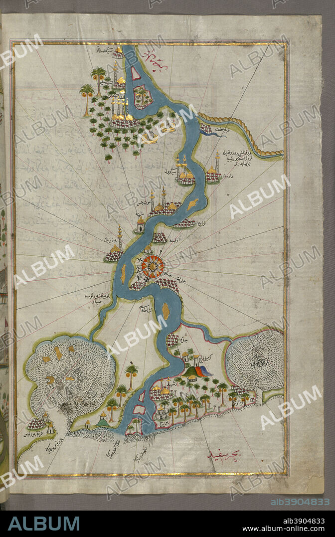
PIRI REIS. Map of the River Nile From Its Estuary South. Date/Period: Ottoman. Illuminated manuscripts; folios (leaves); maps. Ink and pigments on laid European paper ink and pigments on laid European paper. Height: 35.80 mm (1.40 in); Width: 65.50 mm (2.57 in).

|
Zu einem anderen Lightbox hinzufügen |
|
Zu einem anderen Lightbox hinzufügen |


Haben Sie bereits ein Konto? Anmelden
Sie haben kein Konto? Registrieren
Dieses Bild kaufen

Untertitel:
Siehe automatische Übersetzung
Map of the River Nile From Its Estuary South. Date/Period: Ottoman. Illuminated manuscripts; folios (leaves); maps. Ink and pigments on laid European paper ink and pigments on laid European paper. Height: 35.80 mm (1.40 in); Width: 65.50 mm (2.57 in).
Technik/Material:
Illuminated manuscripts; folios (leaves); maps
Standort:
Walters Art Museum
Bildnachweis:
Album
Freigaben (Releases):
Model: Nein - Eigentum: Nein
Rechtefragen?
Rechtefragen?
Bildgröße:
4547 x 6933 px | 90.2 MB
Druckgröße:
38.5 x 58.7 cm | 15.2 x 23.1 in (300 dpi)
 Pinterest
 Twitter
 Facebook
 Link kopieren
 Email
Email
