alb6092594
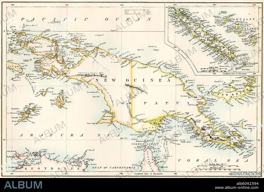
Map of New Guinea and New Caledonia,
| Teilen |
|---|
 Pinterest Pinterest |
 Twitter Twitter |
 Facebook Facebook |
 Link kopieren Link kopieren |
 Email Email |
|
Zu einem anderen Lightbox hinzufügen |
|
Zu einem anderen Lightbox hinzufügen |


Haben Sie bereits ein Konto? Anmelden
Sie haben kein Konto? Registrieren
Dieses Bild kaufen.
Nutzung auswählen:

Titel: Map of New Guinea and New Caledonia,
Untertitel: Map of New Guinea and New Caledonia, 1870s. Printed color lithograph of a 19thcentury illustration
Bildnachweis: Album / akg/North Wind Picture Archives
Freigaben (Releases): ? Modellfreigabe: Nein - ? Eigentumsfreigabe: Nein
Rechtefragen?
Rechtefragen?
Bildgröße: 3364 × 2269 px | 21.8 MB
Druckgröße: 28.5 × 19.2 cm | 1324.4 × 893.3 in (300 dpi)
Schlüsselwörter: AUSTRALIEN • BISMARCK-ARCHIPEL • FOTOGRAFIE • GESCHICHTE • ILLUSTRATION • ILLUSTRATIONS • INSEL • KARTE (KARTHOGRAFIE) • KARTEN • KARTHOGRAPHIE • KUNST • KUNSTWERK • LANDKARTE • MELANESIEN • NEUGUINEA • NEUKALEDONIEN • OZEAN • OZEANIEN • PAZIFIK • PAZIFISCHER OZEAN • PLAN (KARTOGRAPHIE) • ZEITGESCHICHTE
