alb3598719
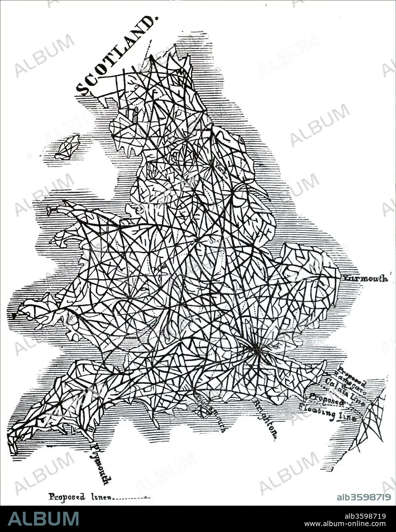
Map of proposed railway lines to run through Britain.
| Teilen |
|---|
 Pinterest Pinterest |
 Twitter Twitter |
 Facebook Facebook |
 Link kopieren Link kopieren |
 Email Email |
|
Zu einem anderen Lightbox hinzufügen |
|
Zu einem anderen Lightbox hinzufügen |


Haben Sie bereits ein Konto? Anmelden
Sie haben kein Konto? Registrieren
Dieses Bild kaufen.
Nutzung auswählen:

Titel:
Map of proposed railway lines to run through Britain.
Untertitel:
Siehe automatische Übersetzung
Map of proposed railway lines to run through Britain. Dated 19th century.
Bildnachweis:
Album / Universal Images Group / Universal History Archive
Freigaben (Releases):
Bildgröße:
4052 x 5176 px | 60.0 MB
Druckgröße:
34.3 x 43.8 cm | 13.5 x 17.3 in (300 dpi)
Schlüsselwörter:
BAHN • EISENBAHN • EISENBAHN: ZUG • ENGLAND • GROSSBRITANNIEN • GROßBRITANNIEN • KARTE (KARTHOGRAFIE) • KARTEN • KARTHOGRAPHIE • LANDKARTE • PLAN (KARTOGRAPHIE) • SCHOTTLAND • TRAIN • TRANSPORT • TRANSPORTE • VIKTORIANISCH • ZUG • ZUG, EISENBAHN
