alb4067008
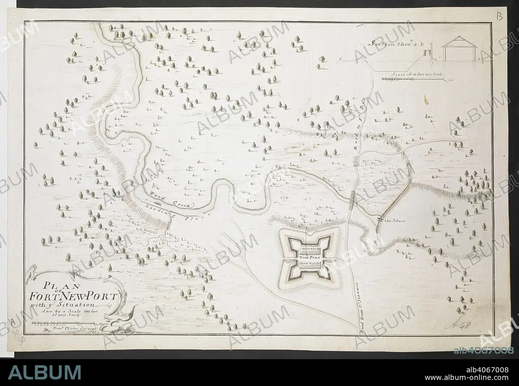
Plan of Fort Newport Fran. Pfister surv. 1760'. 1:1200. 'Scale 100 feet to one inch'. Scale bar of 200 feet (= 2 inches). 255 x 380mm. . R.U.S.I. MAPS. Vol. LXXVI (1-13). 57711 (1-4). Places in states North-East of New York. 18th century. 1760. Source: Add. 57711.13 Amherst no. A 48. R.U.S.I. no. A 30.50.
| Teilen |
|---|
 Pinterest Pinterest |
 Twitter Twitter |
 Facebook Facebook |
 Link kopieren Link kopieren |
 Email Email |
|
Zu einem anderen Lightbox hinzufügen |
|
Zu einem anderen Lightbox hinzufügen |


Haben Sie bereits ein Konto? Anmelden
Sie haben kein Konto? Registrieren
Dieses Bild kaufen

Untertitel:
Siehe automatische Übersetzung
Plan of Fort Newport Fran. Pfister surv. 1760'. 1:1200. 'Scale 100 feet to one inch'. Scale bar of 200 feet (= 2 inches). 255 x 380mm. . R.U.S.I. MAPS. Vol. LXXVI (1-13). 57711 (1-4). Places in states North-East of New York. 18th century. 1760. Source: Add. 57711.13 Amherst no. A 48. R.U.S.I. no. A 30.50.
Persönlichkeiten:
Bildnachweis:
Album / British Library
Freigaben (Releases):
Model: Nein - Eigentum: Nein
Rechtefragen?
Rechtefragen?
Bildgröße:
8761 x 6074 px | 152.2 MB
Druckgröße:
74.2 x 51.4 cm | 29.2 x 20.2 in (300 dpi)
Schlüsselwörter:
18. JAHRHUNDERT • 18. JH. • DOKUMENT • EREIGNIS • FEUER, KRIEG • KARTE (KARTHOGRAFIE) • KARTEN • KARTHOGRAFIE • KARTHOGRAPHIE • KARTOGRAFIE (KARTE) • KARTOGRAPHIE • KRIEG • LANDKARTE • MILITAER • MILITAR • MILITÄR • MILITÄRISCH • PLAN (KARTOGRAPHIE) • PLAN • WISSENSCH.: KARTOGRAPHIE
