alb5283471
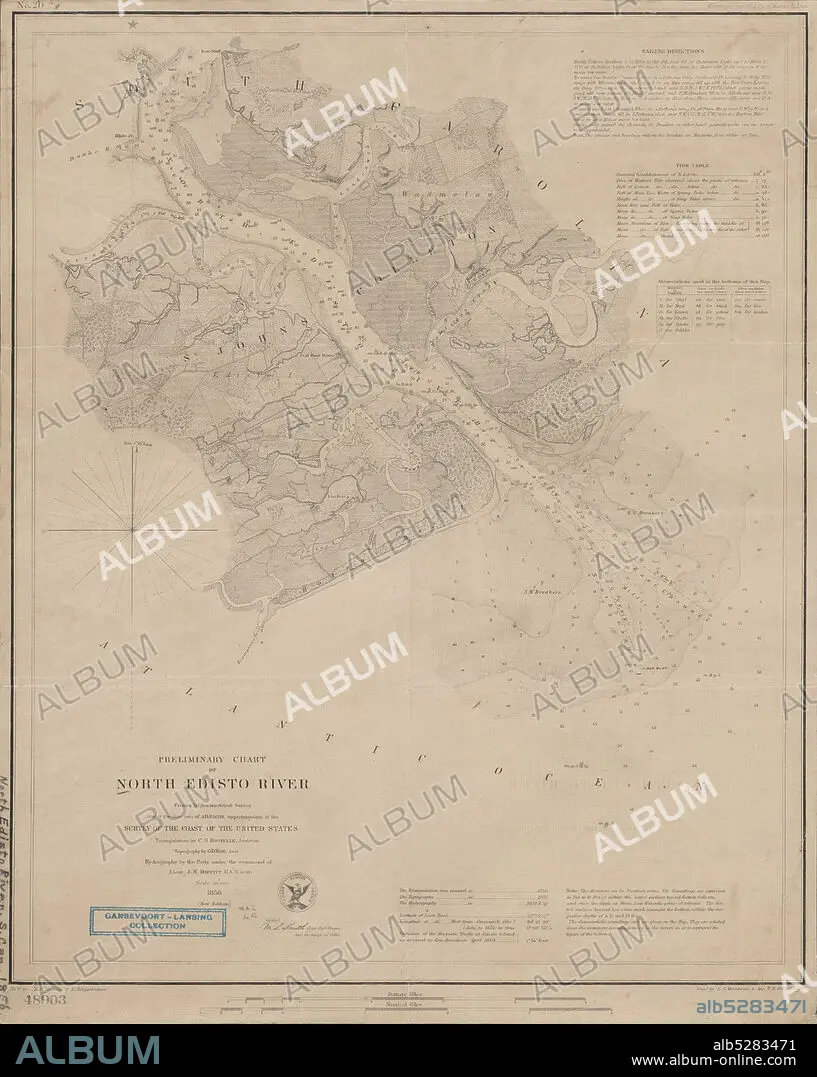
Preliminary chart of North Edisto River , cartographic, Maps, 1856, Bache, A. D. (Alexander Dallas), 1806-1867, Boutelle, C. O. (Charles Otis), Wise, George D. (George Douglas), 1831-1898, Maffitt, John Newland, 1819-1886, Smith, M. L. (Martin Luther), 1819-1866, Mathiot, G., Woodward, E. F., Oehlschlager, T. H., United States Coast Survey.
| Teilen |
|---|
 Pinterest Pinterest |
 Twitter Twitter |
 Facebook Facebook |
 Link kopieren Link kopieren |
 Email Email |
|
Zu einem anderen Lightbox hinzufügen |
|
Zu einem anderen Lightbox hinzufügen |


Haben Sie bereits ein Konto? Anmelden
Sie haben kein Konto? Registrieren
Dieses Bild kaufen

Untertitel:
Siehe automatische Übersetzung
Preliminary chart of North Edisto River , cartographic, Maps, 1856, Bache, A. D. (Alexander Dallas), 1806-1867, Boutelle, C. O. (Charles Otis), Wise, George D. (George Douglas), 1831-1898, Maffitt, John Newland, 1819-1886, Smith, M. L. (Martin Luther), 1819-1866, Mathiot, G., Woodward, E. F., Oehlschlager, T. H., United States Coast Survey
Bildnachweis:
Album / quintlox
Freigaben (Releases):
Model: Nein - Eigentum: Nein
Rechtefragen?
Rechtefragen?
Bildgröße:
4789 x 6000 px | 82.2 MB
Druckgröße:
40.5 x 50.8 cm | 16.0 x 20.0 in (300 dpi)
Schlüsselwörter:
