alb9841624
ANON. Map of a part of the head of North Holland, c.1620-c.1699. Creator: Anon.
| Teilen |
|---|
 Pinterest Pinterest |
 Twitter Twitter |
 Facebook Facebook |
 Link kopieren Link kopieren |
 Email Email |
|
Zu einem anderen Lightbox hinzufügen |
|
Zu einem anderen Lightbox hinzufügen |


Haben Sie bereits ein Konto? Anmelden
Sie haben kein Konto? Registrieren
Dieses Bild kaufen

Autor:
Titel:
Map of a part of the head of North Holland, c.1620-c.1699. Creator: Anon.
Untertitel:
Siehe automatische Übersetzung
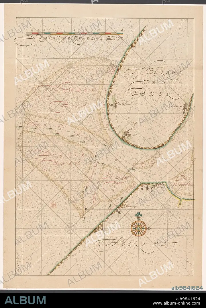
Map of a part of the head of North Holland, southern Texel and the surrounding sandbanks, c.1620-c.1699.
Bildnachweis:
Album / Heritage Art/Heritage Images
Freigaben (Releases):
Model: Nein - Eigentum: Nein
Rechtefragen?
Rechtefragen?
Bildgröße:
4872 x 6940 px | 96.7 MB
Druckgröße:
41.2 x 58.8 cm | 16.2 x 23.1 in (300 dpi)
Schlüsselwörter:
ABDRUCK • ANON • ANONYME • AUSSTELLUNGSGELAENDE • AUSSTELLUNGSGELÄNDE • BILDERGALERIE • FARBE • FARBIG • GALERIE (KUNST) • GALERIE • GEMAELDEGALERIE • GEMÄLDEGALERIE • ILLUSTRATION • ILLUSTRATIONS • KARTHOGRAFIE • KARTOGRAFIE (KARTE) • KARTOGRAPHIE • KUNSTGALERIE • SANDBANK • SZENE • TINTE • WISSENSCH.: KARTOGRAPHIE
