alb3932247
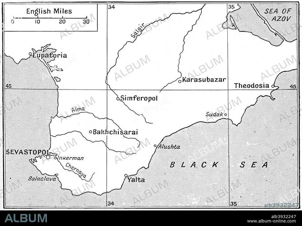
Map of the area where the Crimean War was fought in the 1850s, (c1920). Artist: Walter Hutchinson
| Teilen |
|---|
 Pinterest Pinterest |
 Twitter Twitter |
 Facebook Facebook |
 Link kopieren Link kopieren |
 Email Email |
|
Zu einem anderen Lightbox hinzufügen |
|
Zu einem anderen Lightbox hinzufügen |


Haben Sie bereits ein Konto? Anmelden
Sie haben kein Konto? Registrieren
Dieses Bild kaufen

Titel:
Map of the area where the Crimean War was fought in the 1850s, (c1920). Artist: Walter Hutchinson
Untertitel:
Siehe automatische Übersetzung
Map of the area where the Crimean War was fought in the 1850s, (c1920). The plan shows the relative positions of the battlefields of Crimea. Illustration from Story of the British Nation, Volume IV, by Walter Hutchinson, (London, c1920s).
Bildnachweis:
Album / The Print Collector / Heritage Images
Freigaben (Releases):
Model: Nein - Eigentum: Nein
Rechtefragen?
Rechtefragen?
Bildgröße:
4080 x 2848 px | 33.2 MB
Druckgröße:
34.5 x 24.1 cm | 13.6 x 9.5 in (300 dpi)
Schlüsselwörter:
