alb5283704
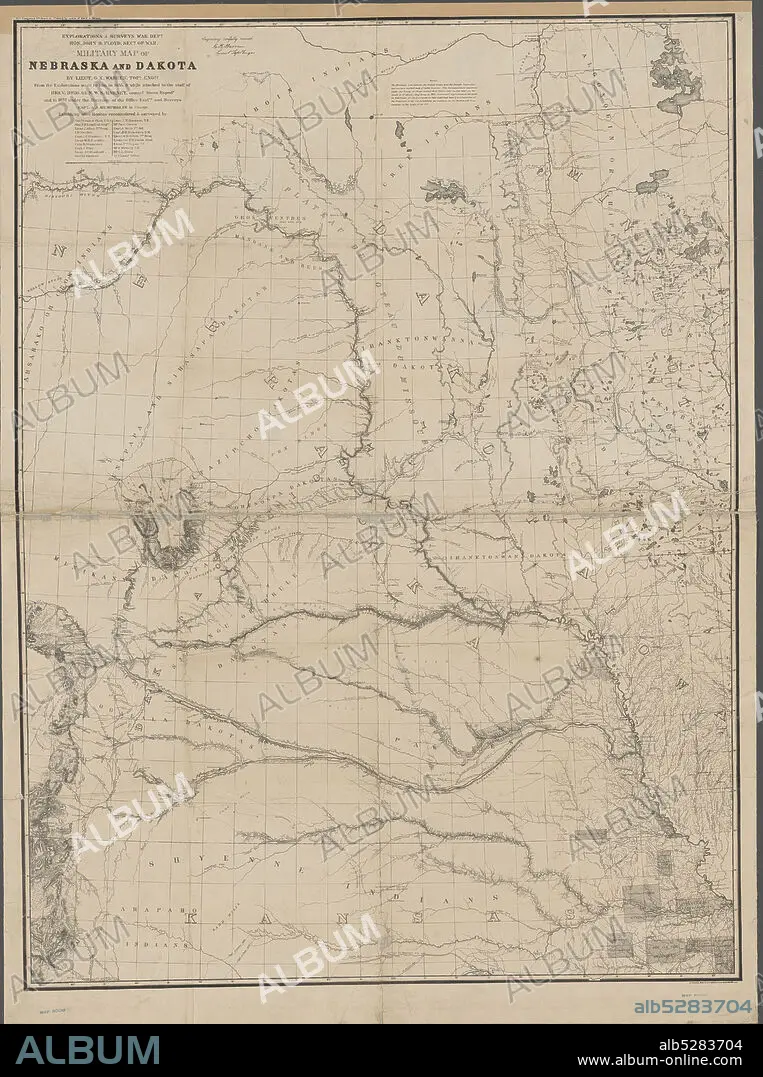
Military map of Nebraska and Dakota , cartographic, Maps, 1857, Warren, G. K. (Gouverneur Kemble), 1830-1882, Floyd, John B. (John Buchanan), 1806-1863, Harney, William S. (William Selby), 1800-1889, Humphreys, A. A. (Andrew Atkinson), 1810-1883, Lewis, Meriwether, 1774-1809, Clark, William, 1770-1838, Peters, N. (Norris).
| Teilen |
|---|
 Pinterest Pinterest |
 Twitter Twitter |
 Facebook Facebook |
 Link kopieren Link kopieren |
 Email Email |
|
Zu einem anderen Lightbox hinzufügen |
|
Zu einem anderen Lightbox hinzufügen |


Haben Sie bereits ein Konto? Anmelden
Sie haben kein Konto? Registrieren
Dieses Bild kaufen.
Nutzung auswählen:

Untertitel:
Siehe automatische Übersetzung
Military map of Nebraska and Dakota , cartographic, Maps, 1857, Warren, G. K. (Gouverneur Kemble), 1830-1882, Floyd, John B. (John Buchanan), 1806-1863, Harney, William S. (William Selby), 1800-1889, Humphreys, A. A. (Andrew Atkinson), 1810-1883, Lewis, Meriwether, 1774-1809, Clark, William, 1770-1838, Peters, N. (Norris)
Persönlichkeiten:
Bildnachweis:
Album / quintlox
Freigaben (Releases):
Model: Nein - Eigentum: Nein
Rechtefragen?
Rechtefragen?
Bildgröße:
4473 x 6000 px | 76.8 MB
Druckgröße:
37.9 x 50.8 cm | 14.9 x 20.0 in (300 dpi)
Schlüsselwörter:
