alb9356864
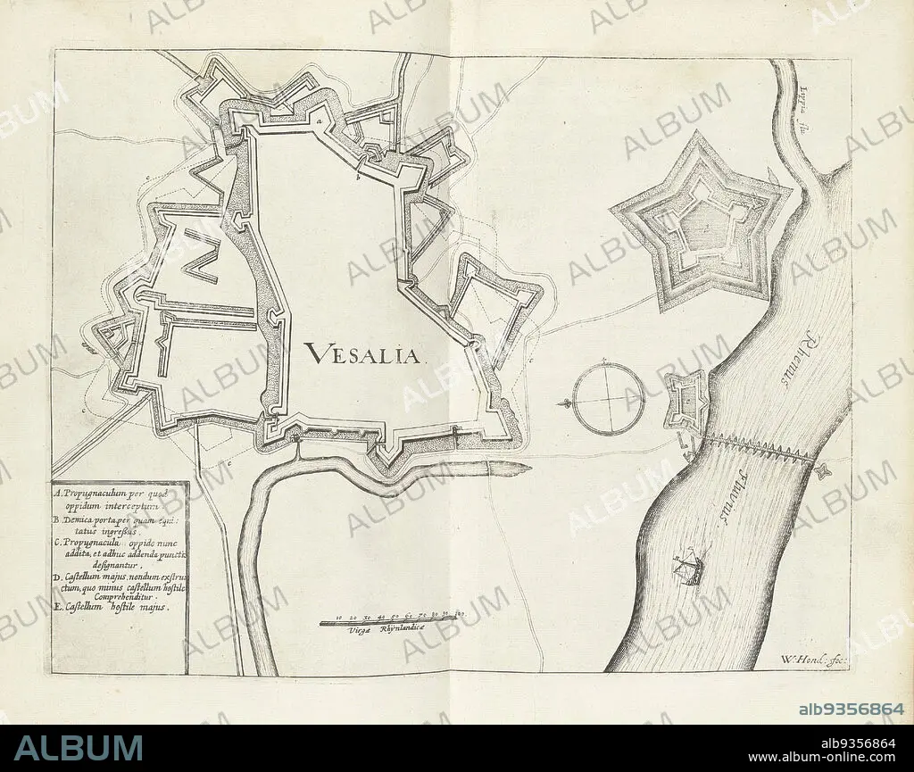
Map of Wesel, 1629, Vesalia (title on object), Map of the city of Wesel, taken by the State army under Frederick Henry, August 19, 1629., print maker: Willem Hondius (mentioned on object), Northern Netherlands, 1629 - 1631, paper, engraving, height 236 mm × width 305 mm.
| Teilen |
|---|
 Pinterest Pinterest |
 Twitter Twitter |
 Facebook Facebook |
 Link kopieren Link kopieren |
 Email Email |
|
Zu einem anderen Lightbox hinzufügen |
|
Zu einem anderen Lightbox hinzufügen |


Haben Sie bereits ein Konto? Anmelden
Sie haben kein Konto? Registrieren
Dieses Bild kaufen

Untertitel:
Siehe automatische Übersetzung
Map of Wesel, 1629, Vesalia (title on object), Map of the city of Wesel, taken by the State army under Frederick Henry, August 19, 1629., print maker: Willem Hondius (mentioned on object), Northern Netherlands, 1629 - 1631, paper, engraving, height 236 mm × width 305 mm
Bildnachweis:
Album / quintlox
Freigaben (Releases):
Model: Nein - Eigentum: Nein
Rechtefragen?
Rechtefragen?
Bildgröße:
4419 x 3502 px | 44.3 MB
Druckgröße:
37.4 x 29.7 cm | 14.7 x 11.7 in (300 dpi)
Schlüsselwörter:
GRAVUR • KARTE (KARTHOGRAFIE) • KARTEN • KARTHOGRAPHIE • LANDKARTE • PAPIER • PLAN (KARTOGRAPHIE) • STADT • STICH (KUNST) • STÄDTE
