alb2603218
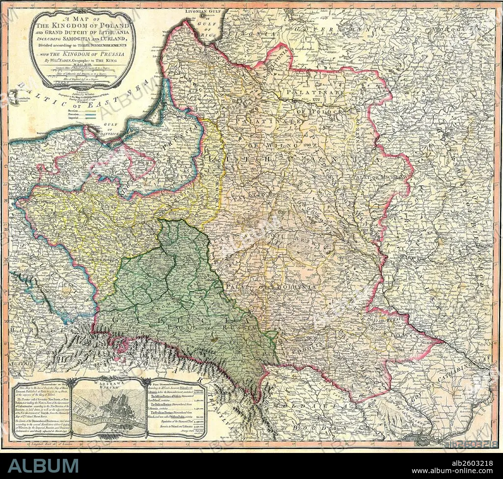
Map showing the partition of the Kingdom of Poland and the Grand Duchy of Lithuania.
| Teilen |
|---|
 Pinterest Pinterest |
 Twitter Twitter |
 Facebook Facebook |
 Link kopieren Link kopieren |
 Email Email |
|
Zu einem anderen Lightbox hinzufügen |
|
Zu einem anderen Lightbox hinzufügen |


Haben Sie bereits ein Konto? Anmelden
Sie haben kein Konto? Registrieren
Dieses Bild kaufen

Titel:
Map showing the partition of the Kingdom of Poland and the Grand Duchy of Lithuania.
Untertitel:
Siehe automatische Übersetzung
Map showing the partition of the Kingdom of Poland and the Grand Duchy of Lithuania, 1799.
Bildnachweis:
Album / Universal Images Group / Universal History Archive
Freigaben (Releases):
Model: Nein - Eigentum: Nein
Rechtefragen?
Rechtefragen?
Bildgröße:
4827 x 4344 px | 60.0 MB
Druckgröße:
40.9 x 36.8 cm | 16.1 x 14.5 in (300 dpi)
Schlüsselwörter:
