alb9215449
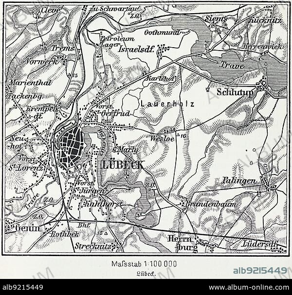
City map of Lübeck, Hanseatic city, Schleswig-Holstein, Germany, Trave, Baltic Sea, districts, Schlutup, St. Lorenz, map, cartography, railway lines, surrounding area, historical illustration 19th century, Europe.
| Teilen |
|---|
 Pinterest Pinterest |
 Twitter Twitter |
 Facebook Facebook |
 Link kopieren Link kopieren |
 Email Email |
|
Zu einem anderen Lightbox hinzufügen |
|
Zu einem anderen Lightbox hinzufügen |


Haben Sie bereits ein Konto? Anmelden
Sie haben kein Konto? Registrieren
Dieses Bild kaufen.
Nutzung auswählen:

Untertitel:
Siehe automatische Übersetzung
City map of Lübeck, Hanseatic city, Schleswig-Holstein, Germany, Trave, Baltic Sea, districts, Schlutup, St. Lorenz, map, cartography, railway lines, surrounding area, historical illustration 19th century, Europe
Bildnachweis:
Album / ImageBroker / Wolfgang Diederich
Freigaben (Releases):
Model: Nein - Eigentum: Nein
Rechtefragen?
Rechtefragen?
Bildgröße:
600 x 574 px | 1009.0 KB
Druckgröße:
5.1 x 4.9 cm | 2.0 x 1.9 in (300 dpi)
Schlüsselwörter:
1990ER JAHRE • DEUTSCH • ECCLESIA • GEOGRAFIE • GEOGRAPHIE • ILLUSTRATION • ILLUSTRATIONS • INNENRAEUME: KIRCHEN • KIRCHE • KIRCHEN • NAVIGATION • NEUNZIGER JAHRE • ORIENTIERUNG • SAKRALBAU • STADTPLAN
