alb4092734
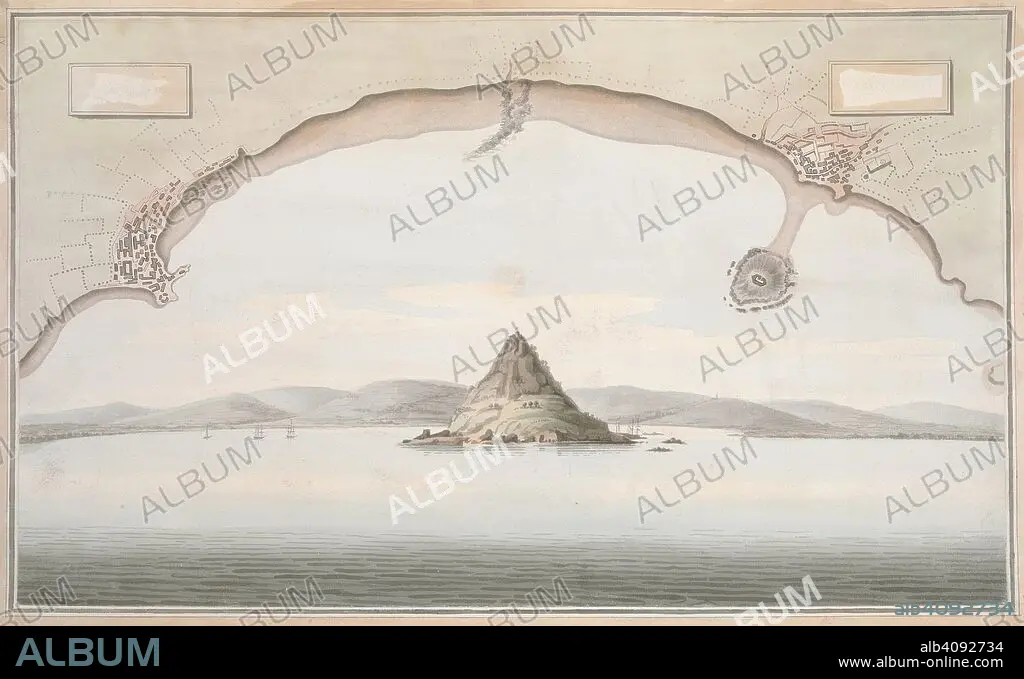
A view of St. Michael's Mount and the adjacent coast, with a plan of the coast of Cornwall from Penzance to Merazion. A colored view of St. Michael's Mount and the adjacent coast, taken from the sea; with a plan of the coast of Cornwall from Penzance to Merazion. ca. 1775-1800. Source: Maps K.Top.9.41.i.
| Teilen |
|---|
 Pinterest Pinterest |
 Twitter Twitter |
 Facebook Facebook |
 Link kopieren Link kopieren |
 Email Email |
|
Zu einem anderen Lightbox hinzufügen |
|
Zu einem anderen Lightbox hinzufügen |


Haben Sie bereits ein Konto? Anmelden
Sie haben kein Konto? Registrieren
Dieses Bild kaufen.
Nutzung auswählen:

Untertitel:
Siehe automatische Übersetzung
A view of St. Michael's Mount and the adjacent coast, with a plan of the coast of Cornwall from Penzance to Merazion. A colored view of St. Michael's Mount and the adjacent coast, taken from the sea; with a plan of the coast of Cornwall from Penzance to Merazion. ca. 1775-1800. Source: Maps K.Top.9.41.i.
Bildnachweis:
Album / British Library
Freigaben (Releases):
Bildgröße:
7821 x 4782 px | 107.0 MB
Druckgröße:
66.2 x 40.5 cm | 26.1 x 15.9 in (300 dpi)
