alb4085389
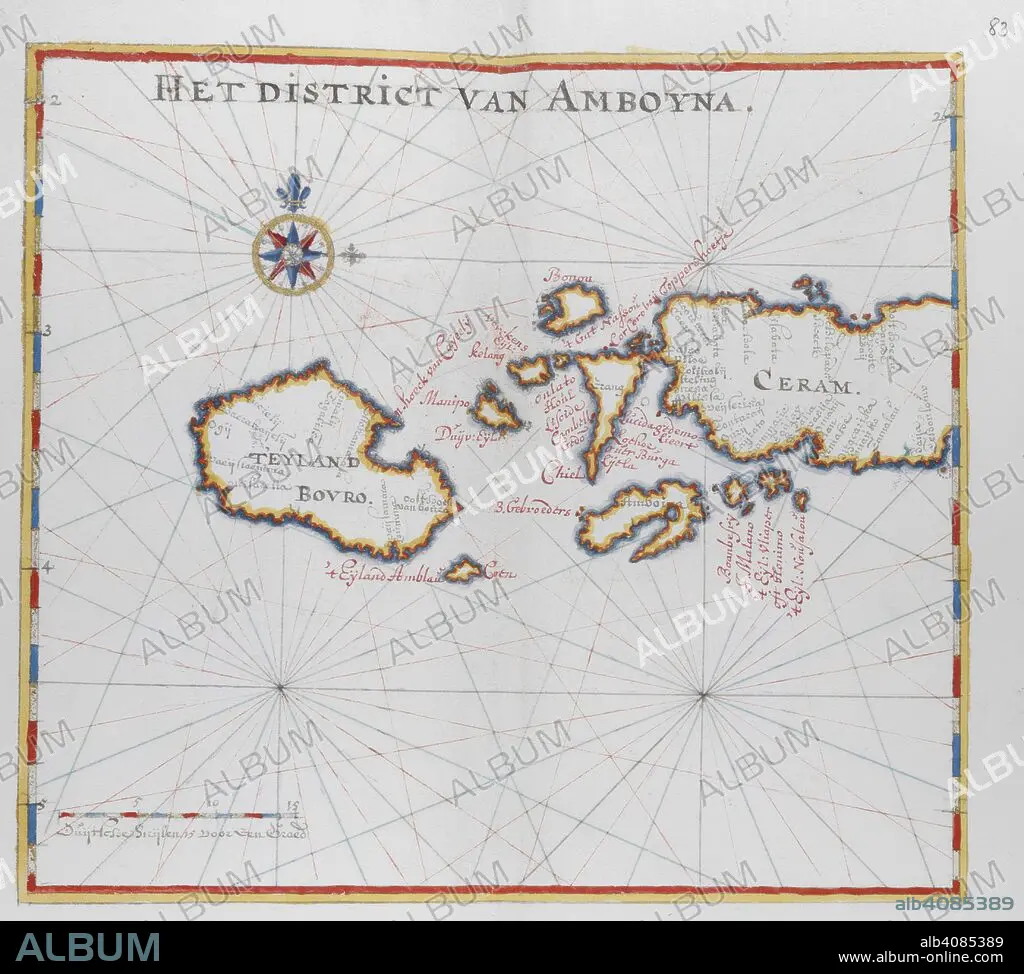
Map showing the islands of Bouro and Ceram (Seram), Indonesia. DUTCH PORTOLANO, containing forty-nine coloured maps and views. 17th century. Source: Add. 34184, f.82.
| Teilen |
|---|
 Pinterest Pinterest |
 Twitter Twitter |
 Facebook Facebook |
 Link kopieren Link kopieren |
 Email Email |
|
Zu einem anderen Lightbox hinzufügen |
|
Zu einem anderen Lightbox hinzufügen |


Haben Sie bereits ein Konto? Anmelden
Sie haben kein Konto? Registrieren
Dieses Bild kaufen.
Nutzung auswählen:

Untertitel:
Siehe automatische Übersetzung
Map showing the islands of Bouro and Ceram (Seram), Indonesia. DUTCH PORTOLANO, containing forty-nine coloured maps and views. 17th century. Source: Add. 34184, f.82.
Bildnachweis:
Album / British Library
Freigaben (Releases):
Model: Nein - Eigentum: Nein
Rechtefragen?
Rechtefragen?
Bildgröße:
4421 x 3977 px | 50.3 MB
Druckgröße:
37.4 x 33.7 cm | 14.7 x 13.3 in (300 dpi)
Schlüsselwörter:
