alb5276643
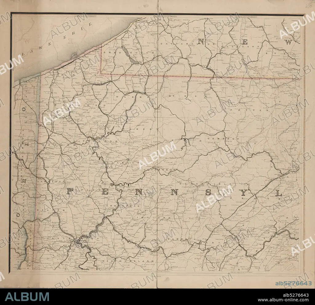
Post route map of the states of Pennsylvania, New Jersey, Delaware and Maryland and of the District of Columbia, with adjacent parts of New York, Ohio, Virginia and West Virginia, cartographic, Maps, 1874, Nicholson, W. L., McClelland, D.
| Teilen |
|---|
 Pinterest Pinterest |
 Twitter Twitter |
 Facebook Facebook |
 Link kopieren Link kopieren |
 Email Email |
|
Zu einem anderen Lightbox hinzufügen |
|
Zu einem anderen Lightbox hinzufügen |


Haben Sie bereits ein Konto? Anmelden
Sie haben kein Konto? Registrieren
Dieses Bild kaufen.
Nutzung auswählen:

Untertitel:
Siehe automatische Übersetzung
Post route map of the states of Pennsylvania, New Jersey, Delaware and Maryland and of the District of Columbia, with adjacent parts of New York, Ohio, Virginia and West Virginia, cartographic, Maps, 1874, Nicholson, W. L., McClelland, D.
Bildnachweis:
Album / quintlox
Freigaben (Releases):
Bildgröße:
6000 x 5489 px | 94.2 MB
Druckgröße:
50.8 x 46.5 cm | 20.0 x 18.3 in (300 dpi)
Schlüsselwörter:
