alb5368504
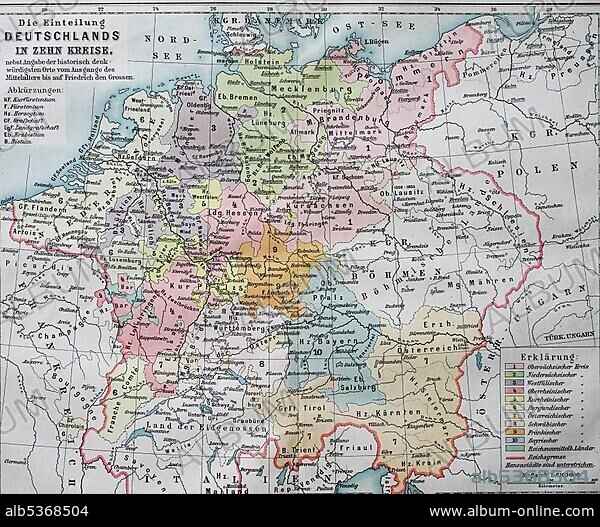
Map, the division of Germany into ten circles in the 16th century, imperial circles, historical illustration, Germany
| Teilen |
|---|
 Pinterest Pinterest |
 Twitter Twitter |
 Facebook Facebook |
 Link kopieren Link kopieren |
 Email Email |
|
Zu einem anderen Lightbox hinzufügen |
|
Zu einem anderen Lightbox hinzufügen |


Haben Sie bereits ein Konto? Anmelden
Sie haben kein Konto? Registrieren
Dieses Bild kaufen.
Nutzung auswählen:

Untertitel: Siehe automatische Übersetzung
Map, the division of Germany into ten circles in the 16th century, imperial circles, historical illustration, Germany, Europe
Map, the division of Germany into ten circles in the 16th century, imperial circles, historical illustration, Germany, Europe
Bildnachweis: Album / ImageBroker / BAO
Freigaben (Releases): ? Modellfreigabe: Nein - ? Eigentumsfreigabe: Nein
Rechtefragen?
Rechtefragen?
Bildgröße: 4607 × 3794 px | 50.0 MB
Druckgröße: 39.0 × 32.1 cm | 1813.8 × 1493.7 in (300 dpi)
Schlüsselwörter: 10. JAHRHUNDERT • 10. JH. • 16. JAHRHUNDERT • 16. JH. • ERZAEHLUNG • ERZÄHLUNG • GEOGRAFIE • GEOGRAPHIE • ILLUSTRATION • ILLUSTRATIONS • KARTE • KARTEN • PAPPE • ZEICHNUNGEN
