alb9527663
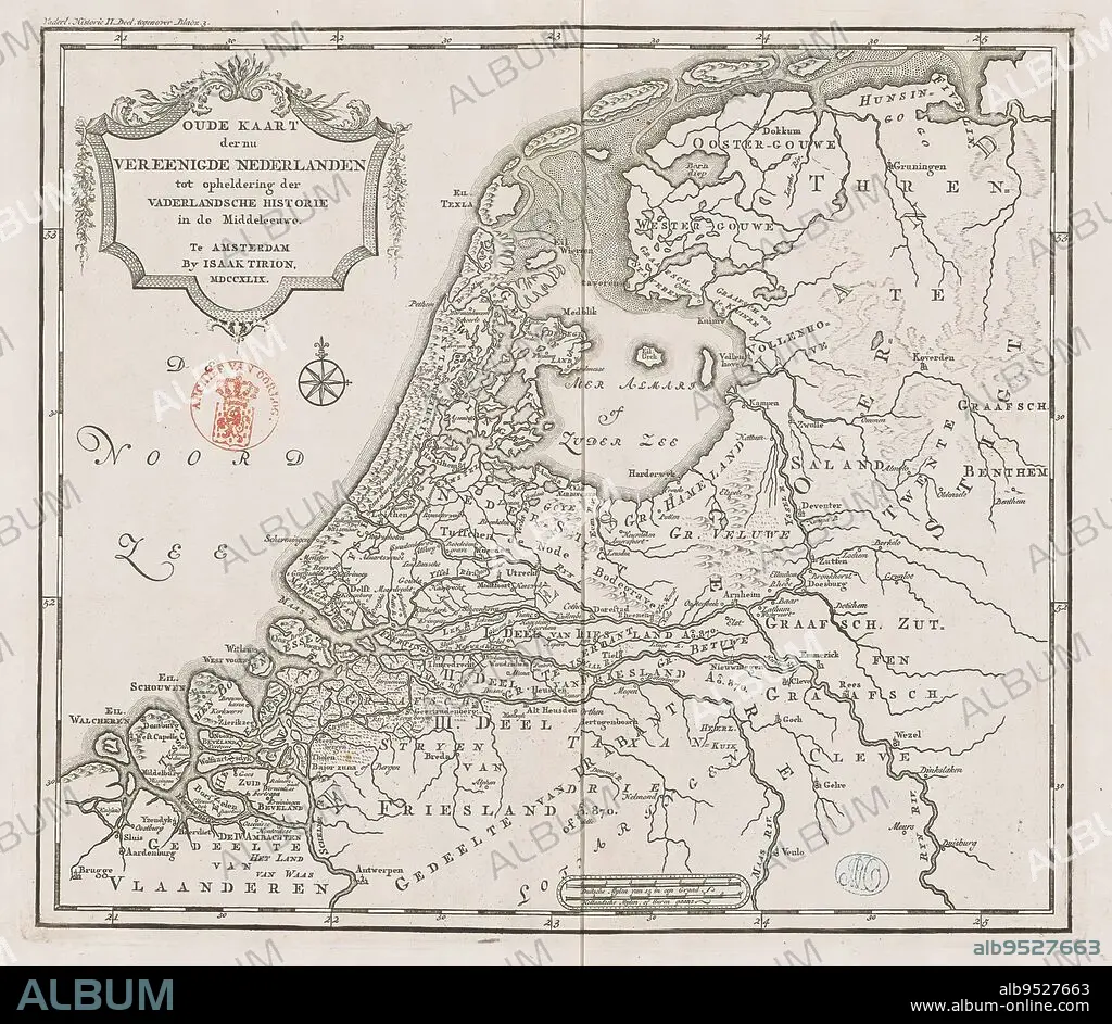
Historical map of Holland in the Middle Ages, Old map of the now united Netherlands to elucidate patriotic history in the Middle Ages (title on object), Eighteenth-century map of Holland in the Middle Ages. Title cartouche to the left. Right scale bar: German mylen of 15 in a degree, Dutch mylen or hours gaans. Degree divisions along edges., print maker: anonymous, publisher: Isaak Tirion, (mentioned on object), Amsterdam, 1749, paper, engraving, height 289 mm × width 329 mm.
| Teilen |
|---|
 Pinterest Pinterest |
 Twitter Twitter |
 Facebook Facebook |
 Link kopieren Link kopieren |
 Email Email |
|
Zu einem anderen Lightbox hinzufügen |
|
Zu einem anderen Lightbox hinzufügen |


Haben Sie bereits ein Konto? Anmelden
Sie haben kein Konto? Registrieren
Dieses Bild kaufen.
Nutzung auswählen:

Untertitel:
Siehe automatische Übersetzung
Historical map of Holland in the Middle Ages, Old map of the now united Netherlands to elucidate patriotic history in the Middle Ages (title on object), Eighteenth-century map of Holland in the Middle Ages. Title cartouche to the left. Right scale bar: German mylen of 15 in a degree, Dutch mylen or hours gaans. Degree divisions along edges., print maker: anonymous, publisher: Isaak Tirion, (mentioned on object), Amsterdam, 1749, paper, engraving, height 289 mm × width 329 mm
Bildnachweis:
Album / quintlox
Freigaben (Releases):
Bildgröße:
2914 x 2534 px | 21.1 MB
Druckgröße:
24.7 x 21.5 cm | 9.7 x 8.4 in (300 dpi)
Schlüsselwörter:
