alb3408391
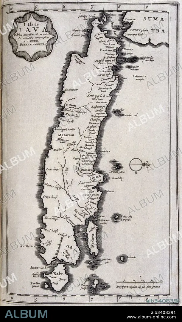
Map of Java in the Dutch East Indies, circa 1680, 17th century.
| Teilen |
|---|
 Pinterest Pinterest |
 Twitter Twitter |
 Facebook Facebook |
 Link kopieren Link kopieren |
 Email Email |
|
Zu einem anderen Lightbox hinzufügen |
|
Zu einem anderen Lightbox hinzufügen |


Haben Sie bereits ein Konto? Anmelden
Sie haben kein Konto? Registrieren
Dieses Bild kaufen

Titel:
Map of Java in the Dutch East Indies, circa 1680, 17th century.
Untertitel:
Siehe automatische Übersetzung
Map of Java in the Dutch East Indies, circa 1680, 17th century. Illustration from voyages made to Persia and India 1727, by Johan Albrecht de Mandelslo (1616–1644). seventeenth-century German adventurer, who wrote about his travels through Persia and India.
Bildnachweis:
Album / Universal Images Group / Universal History Archive \ UIG
Freigaben (Releases):
Model: Nein - Eigentum: Nein
Rechtefragen?
Rechtefragen?
Bildgröße:
3043 x 5100 px | 44.4 MB
Druckgröße:
25.8 x 43.2 cm | 10.1 x 17.0 in (300 dpi)
Schlüsselwörter:
