alb4064224
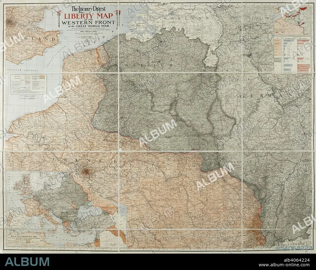
A map of the 'Western front' during the First World War. It covers mostly France, Belgium, Holland and Germany. The Literary Digest Liberty Map of the Western Front of the Great World War ... with complete index. Natural scale, 1 : 500,000. New York : Funk & Wagnalls, 1918. Source: Maps.14317.(90).
| Teilen |
|---|
 Pinterest Pinterest |
 Twitter Twitter |
 Facebook Facebook |
 Link kopieren Link kopieren |
 Email Email |
|
Zu einem anderen Lightbox hinzufügen |
|
Zu einem anderen Lightbox hinzufügen |


Haben Sie bereits ein Konto? Anmelden
Sie haben kein Konto? Registrieren
Dieses Bild kaufen.
Nutzung auswählen:

Untertitel:
Siehe automatische Übersetzung
A map of the 'Western front' during the First World War. It covers mostly France, Belgium, Holland and Germany. The Literary Digest Liberty Map of the Western Front of the Great World War ... with complete index. Natural scale, 1 : 500,000. New York : Funk & Wagnalls, 1918. Source: Maps.14317.(90).
Bildnachweis:
Album / British Library
Freigaben (Releases):
Model: Nein - Eigentum: Nein
Rechtefragen?
Rechtefragen?
Bildgröße:
7526 x 6037 px | 130.0 MB
Druckgröße:
63.7 x 51.1 cm | 25.1 x 20.1 in (300 dpi)
Schlüsselwörter:
1. WELTKRIEG • EREIGNIS • ERSTER WELTKRIEG • FARBE • FARBEN • FARBIG • FEUER, KRIEG • FIRST WORLD WAR • KARTE (KARTHOGRAFIE) • KARTEN • KARTHOGRAFIE • KARTHOGRAPHIE • KARTOGRAFIE (KARTE) • KARTOGRAPHIE • KRIEG • KRIEG, ERSTER WELTKRIEG • KRIEG, WELTKRIEG I • LANDKARTE • PLAN (KARTOGRAPHIE) • WELTKRIEG I • WISSENSCH.: KARTOGRAPHIE • WORLD WAR 1 • WORLD WAR I • WORLD WAR ONE • WWI
