alb3291891
Marine GPS navigation device circa 1990.
| Teilen |
|---|
 Pinterest Pinterest |
 Twitter Twitter |
 Facebook Facebook |
 Link kopieren Link kopieren |
 Email Email |
|
Zu einem anderen Lightbox hinzufügen |
|
Zu einem anderen Lightbox hinzufügen |


Haben Sie bereits ein Konto? Anmelden
Sie haben kein Konto? Registrieren
Dieses Bild kaufen.
Nutzung auswählen:

Titel: Marine GPS navigation device circa 1990.
Untertitel: Siehe automatische Übersetzung
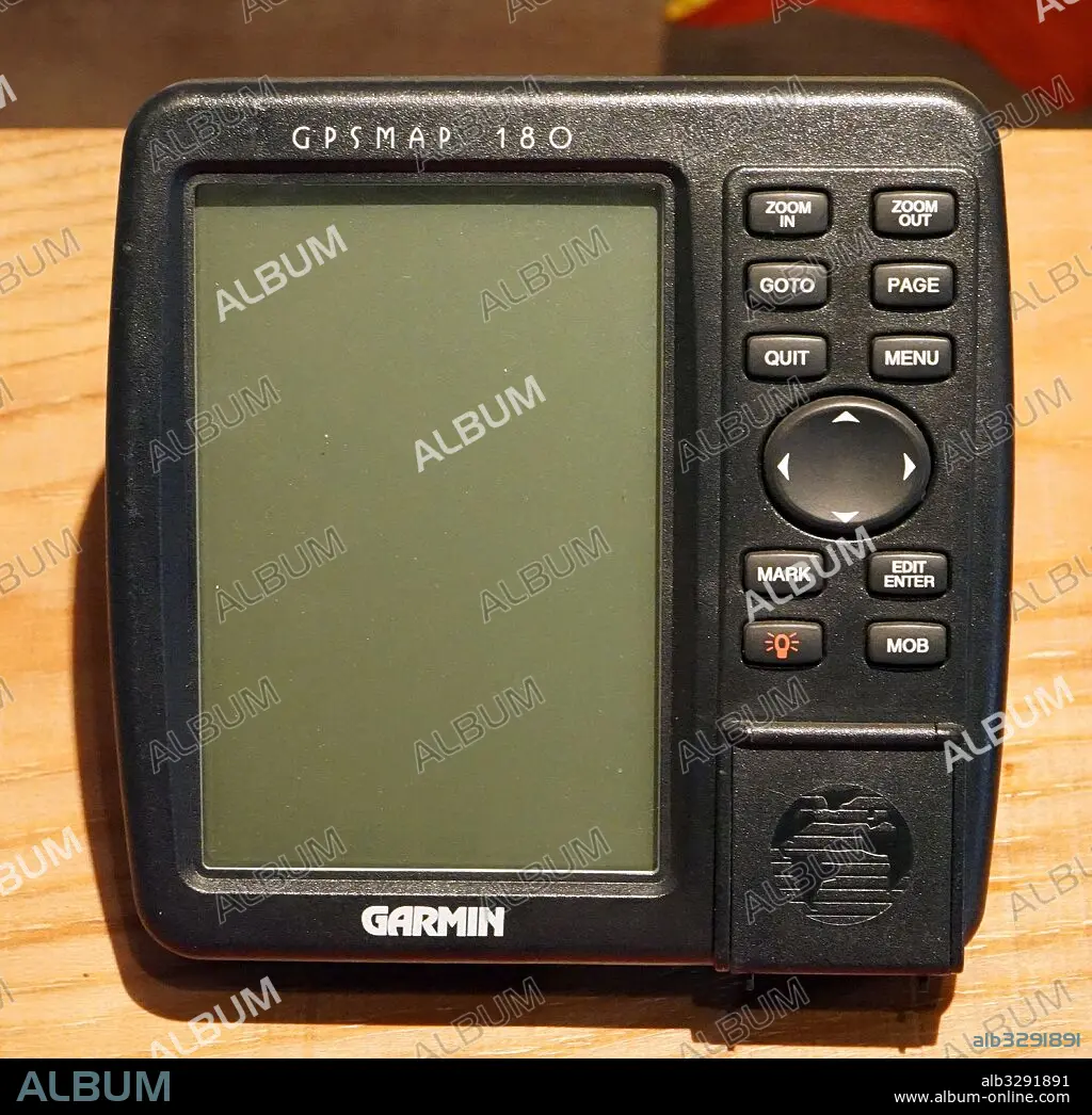
Marine GPS navigation device circa 1990. The Global Positioning System (GPS) is a space-based navigation system that provides location and time information in all weather conditions, anywhere on or near the Earth where there is an unobstructed line of sight to four or more GPS satellites
Marine GPS navigation device circa 1990. The Global Positioning System (GPS) is a space-based navigation system that provides location and time information in all weather conditions, anywhere on or near the Earth where there is an unobstructed line of sight to four or more GPS satellites
Bildnachweis: Album / Universal Images Group
Freigaben (Releases): ? Modellfreigabe: Nein - ? Eigentumsfreigabe: Nein
Rechtefragen?
Rechtefragen?
Bildgröße: 4651 × 4509 px | 60.0 MB
Druckgröße: 39.4 × 38.2 cm | 1831.1 × 1775.2 in (300 dpi)
Schlüsselwörter: NAVIGATION • SATELLIT
