alb5271642
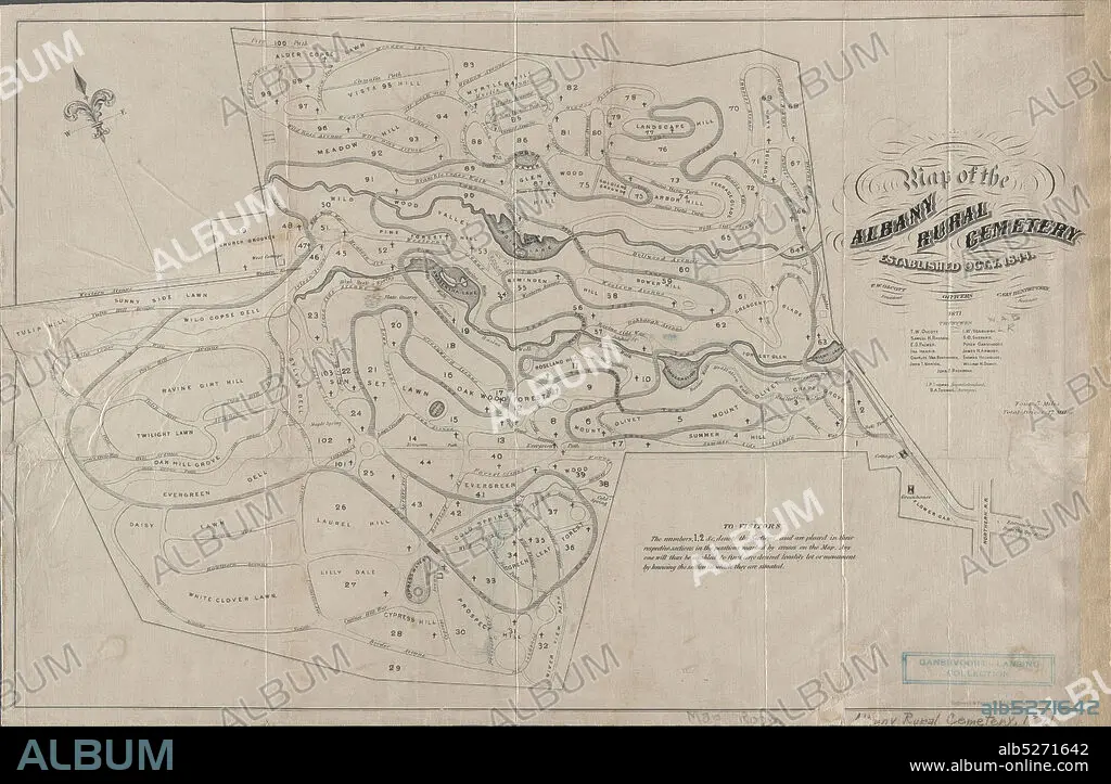
Map of the Albany Rural Cemetery, established, Oct. 7 1844, cartographic, Maps, 1871, Van Benthuysen, C. (Charles), 1817-1881, Thomas, J. P., Thomas, B. A., Gavit, John E., 1817-1874.
| Teilen |
|---|
 Pinterest Pinterest |
 Twitter Twitter |
 Facebook Facebook |
 Link kopieren Link kopieren |
 Email Email |
|
Zu einem anderen Lightbox hinzufügen |
|
Zu einem anderen Lightbox hinzufügen |


Haben Sie bereits ein Konto? Anmelden
Sie haben kein Konto? Registrieren
Dieses Bild kaufen.
Nutzung auswählen:

Untertitel:
Siehe automatische Übersetzung
Map of the Albany Rural Cemetery, established, Oct. 7 1844, cartographic, Maps, 1871, Van Benthuysen, C. (Charles), 1817-1881, Thomas, J. P., Thomas, B. A., Gavit, John E., 1817-1874
Bildnachweis:
Album / quintlox
Freigaben (Releases):
Model: Nein - Eigentum: Nein
Rechtefragen?
Rechtefragen?
Bildgröße:
6300 x 4119 px | 74.2 MB
Druckgröße:
53.3 x 34.9 cm | 21.0 x 13.7 in (300 dpi)
Schlüsselwörter:
