alb8369907
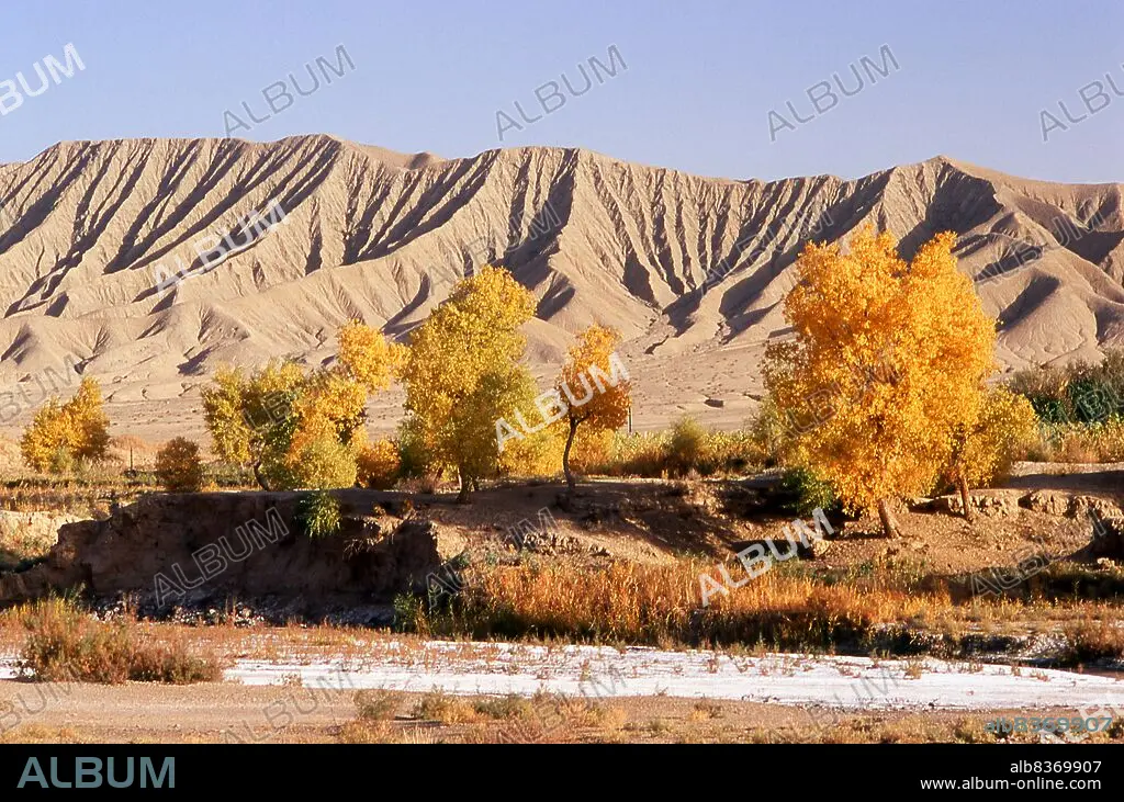
China: The foothills of the Kunlun Shan (Kunlun Mountains) near Karghilik (Karghalik or Kargilik), Xinjiang Province (2007)
| Teilen |
|---|
 Pinterest Pinterest |
 Twitter Twitter |
 Facebook Facebook |
 Link kopieren Link kopieren |
 Email Email |
|
Zu einem anderen Lightbox hinzufügen |
|
Zu einem anderen Lightbox hinzufügen |


Haben Sie bereits ein Konto? Anmelden
Sie haben kein Konto? Registrieren
Dieses Bild kaufen.
Nutzung auswählen:

Titel: China: The foothills of the Kunlun Shan (Kunlun Mountains) near Karghilik (Karghalik or Kargilik), Xinjiang Province (2007)
Untertitel: Siehe automatische Übersetzung
The Kunlun Mountains are one of the longest mountain chains in Asia, extending more than 3,000 km. In the broadest sense, it forms the northern edge of the Tibetan Plateau south of the Tarim Basin and the Gansu Corridor and continues east south of the Wei River to end at the North China Plain.
The Kunlun Mountains are one of the longest mountain chains in Asia, extending more than 3,000 km. In the broadest sense, it forms the northern edge of the Tibetan Plateau south of the Tarim Basin and the Gansu Corridor and continues east south of the Wei River to end at the North China Plain.
Bildnachweis: Album / Universal Images Group / David Henley / Pictures From History
Freigaben (Releases): ? Modellfreigabe: Nein - ? Eigentumsfreigabe: Nein
Rechtefragen?
Rechtefragen?
Bildgröße: 5100 × 3378 px | 49.3 MB
Druckgröße: 43.2 × 28.6 cm | 2007.9 × 1329.9 in (300 dpi)
Schlüsselwörter: ASIEN • ASIEN, KONTINENT • BERG • CHINESIN • CHINESISCH • DAVID • KONTINENT, ASIEN • WUESTE • WÜSTE
