alb4057434
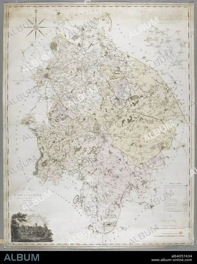
WILLIAM YATES AND SONS. A Map of Warwickshire, 1787. A Map of Warwickshire, drawn from an actual survey taken in the years 1787, 8, 9 by W. Yates and Sons. Warwick, 1793. Source: Maps K.Top.42.76.11.Tab.
| Teilen |
|---|
 Pinterest Pinterest |
 Twitter Twitter |
 Facebook Facebook |
 Link kopieren Link kopieren |
 Email Email |
|
Zu einem anderen Lightbox hinzufügen |
|
Zu einem anderen Lightbox hinzufügen |


Haben Sie bereits ein Konto? Anmelden
Sie haben kein Konto? Registrieren
Dieses Bild kaufen

Autor:
Untertitel:
Siehe automatische Übersetzung
A Map of Warwickshire, 1787. A Map of Warwickshire, drawn from an actual survey taken in the years 1787, 8, 9 by W. Yates and Sons. Warwick, 1793. Source: Maps K.Top.42.76.11.Tab.
Bildnachweis:
Album / British Library
Freigaben (Releases):
Model: Nein - Eigentum: Nein
Rechtefragen?
Rechtefragen?
Bildgröße:
8296 x 10595 px | 251.5 MB
Druckgröße:
70.2 x 89.7 cm | 27.7 x 35.3 in (300 dpi)
Schlüsselwörter:
