alb3549034
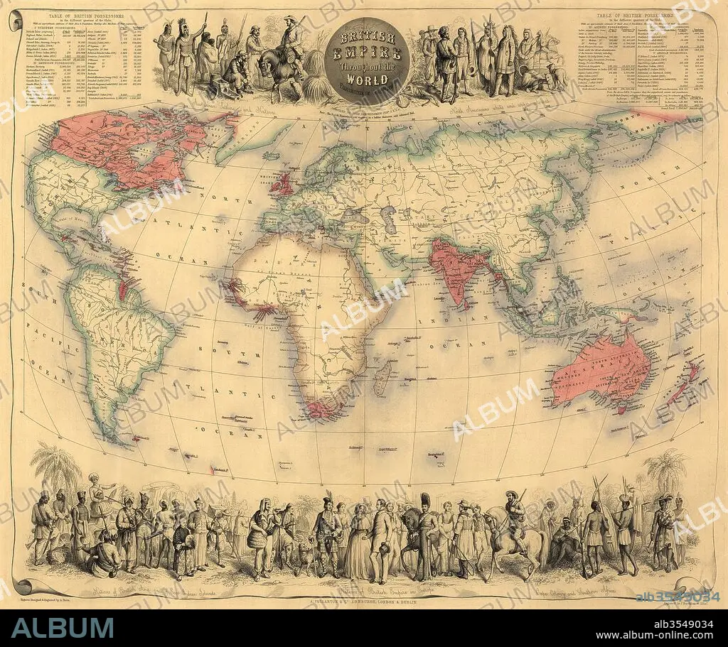
Map of the world circa 1870 with possessions of the British Empire coloured red
| Teilen |
|---|
 Pinterest Pinterest |
 Twitter Twitter |
 Facebook Facebook |
 Link kopieren Link kopieren |
 Email Email |
|
Zu einem anderen Lightbox hinzufügen |
|
Zu einem anderen Lightbox hinzufügen |


Haben Sie bereits ein Konto? Anmelden
Sie haben kein Konto? Registrieren
Dieses Bild kaufen.
Nutzung auswählen:

Titel:
Map of the world circa 1870 with possessions of the British Empire coloured red
Untertitel:
Siehe automatische Übersetzung
Map of the world circa 1870 with possessions of the British Empire coloured red. The map first appeared in Fullarton's Royal Illustrated Atlas, published 1864.
Bildnachweis:
Album / Universal Images Group / Universal History Archive
Freigaben (Releases):
Model: Nein - Eigentum: Nein
Rechtefragen?
Rechtefragen?
Bildgröße:
5115 x 4287 px | 62.7 MB
Druckgröße:
43.3 x 36.3 cm | 17.1 x 14.3 in (300 dpi)
Schlüsselwörter:
