alb5466741
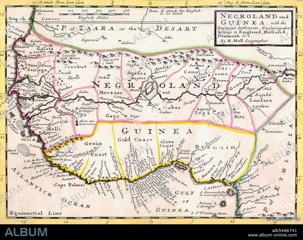
Map of Negroland and Guinea.

|
Zu einem anderen Lightbox hinzufügen |
|
Zu einem anderen Lightbox hinzufügen |


Haben Sie bereits ein Konto? Anmelden
Sie haben kein Konto? Registrieren
Dieses Bild kaufen

Titel:
Map of Negroland and Guinea.
Untertitel:
Siehe automatische Übersetzung
'Negroland and Guinea with the European Settlements, Explaining what belongs to England, Holland, Denmark, etc'. By H. Moll Geographer (Printed and sold by T. Bowles next ye Chapter House in St. Pauls Church yard, & I. Bowles at ye Black Horse in Cornhill, 1729).
Bildnachweis:
Album / Pictures From History/Universal Images Group
Freigaben (Releases):
Model: Nein - Eigentum: Nein
Rechtefragen?
Rechtefragen?
Bildgröße:
5000 x 3694 px | 52.8 MB
Druckgröße:
42.3 x 31.3 cm | 16.7 x 12.3 in (300 dpi)
Schlüsselwörter:
 Pinterest
 Twitter
 Facebook
 Link kopieren
 Email
Email
