alb4058782
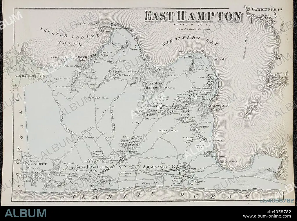
Map of East Hampton, on Long Island New York in the United States. . Atlas of Long Island, New York. From recent and actual Surveys and Records under the superintendence of F.W. Beers. New York, 1873. Source: Maps.33.d.17 f.192. Language: English.
| Teilen |
|---|
 Pinterest Pinterest |
 Twitter Twitter |
 Facebook Facebook |
 Link kopieren Link kopieren |
 Email Email |
|
Zu einem anderen Lightbox hinzufügen |
|
Zu einem anderen Lightbox hinzufügen |


Haben Sie bereits ein Konto? Anmelden
Sie haben kein Konto? Registrieren
Dieses Bild kaufen.
Nutzung auswählen:

Untertitel:
Siehe automatische Übersetzung
Map of East Hampton, on Long Island New York in the United States. . Atlas of Long Island, New York. From recent and actual Surveys and Records under the superintendence of F.W. Beers. New York, 1873. Source: Maps.33.d.17 f.192. Language: English.
Bildnachweis:
Album / British Library
Freigaben (Releases):
Model: Nein - Eigentum: Nein
Rechtefragen?
Rechtefragen?
Bildgröße:
7010 x 4866 px | 97.6 MB
Druckgröße:
59.4 x 41.2 cm | 23.4 x 16.2 in (300 dpi)
Schlüsselwörter:
