alb4951483
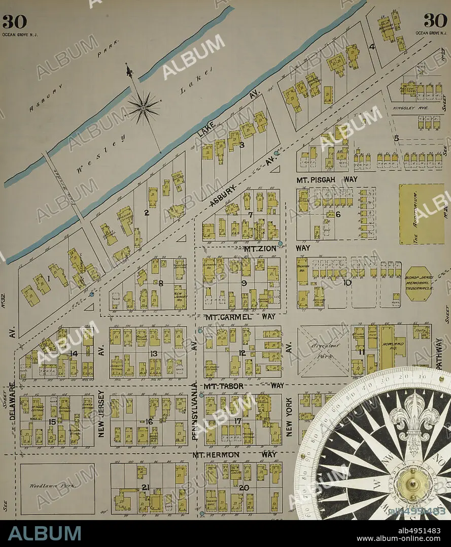
Image 31 of Sanborn Fire Insurance Map from New Jersey Coast, New Jersey Coast, New Jersey. 1890 Vol. 4. 42 Sheet(s). Includes Anglesea, Avalon, Cape May, Cape May Point, Holly Beach City, Mount Vernon, New Mount Vernon, Ocean City, Sea Isle City, Shellingers Landing, West Cape May, Wildwood Beach. Bound, America, street map with a Nineteenth Century compass.
| Teilen |
|---|
 Pinterest Pinterest |
 Twitter Twitter |
 Facebook Facebook |
 Link kopieren Link kopieren |
 Email Email |
|
Zu einem anderen Lightbox hinzufügen |
|
Zu einem anderen Lightbox hinzufügen |


Haben Sie bereits ein Konto? Anmelden
Sie haben kein Konto? Registrieren
Dieses Bild kaufen

Untertitel:
Siehe automatische Übersetzung
Image 31 of Sanborn Fire Insurance Map from New Jersey Coast, New Jersey Coast, New Jersey. 1890 Vol. 4. 42 Sheet(s). Includes Anglesea, Avalon, Cape May, Cape May Point, Holly Beach City, Mount Vernon, New Mount Vernon, Ocean City, Sea Isle City, Shellingers Landing, West Cape May, Wildwood Beach. Bound, America, street map with a Nineteenth Century compass
Bildnachweis:
Album / quintlox
Freigaben (Releases):
Model: Nein - Eigentum: Nein
Rechtefragen?
Rechtefragen?
Bildgröße:
5000 x 5761 px | 82.4 MB
Druckgröße:
42.3 x 48.8 cm | 16.7 x 19.2 in (300 dpi)
Schlüsselwörter:
AMERIKA • AMERIKA, KONTINENT • AMERIKANISCH (US) • AUßEN • DRAUßEN • GEOGRAFIE • GEOGRAPHIE • IM FREIEN (ALLGEMEIN) • JAHRGANG • KARTHOGRAFIE • KARTOGRAFIE (KARTE) • KARTOGRAPHIE • KONTINENT: AMERIKA • REISE • REISENDER • STADT • STRASSE • STÄDTE • US-AMERIKANISCH • USA • USA-VEREINIGE STAATEN • WALZ • WISSENSCH.: KARTOGRAPHIE
