alb12366431
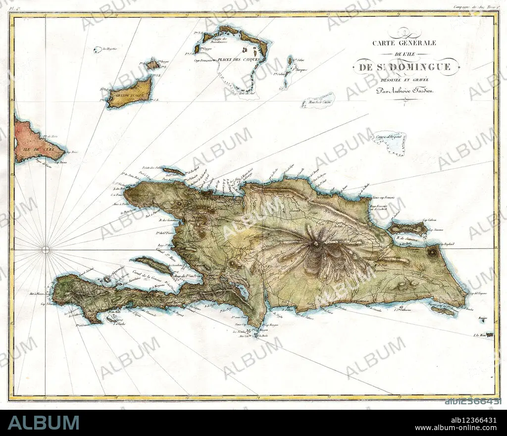
Map of Hispaniola, 1802
| Teilen |
|---|
 Pinterest Pinterest |
 Twitter Twitter |
 Facebook Facebook |
 Link kopieren Link kopieren |
 Email Email |
|
Zu einem anderen Lightbox hinzufügen |
|
Zu einem anderen Lightbox hinzufügen |


Haben Sie bereits ein Konto? Anmelden
Sie haben kein Konto? Registrieren
Dieses Bild kaufen

Titel:
Map of Hispaniola, 1802
Untertitel:
Siehe automatische Übersetzung
A 1802 map of Hispaniola or Santo Domingo (St. Domingue) by Ambroise Tardieu.
Bildnachweis:
Album / Science Source
Freigaben (Releases):
Model: Nein - Eigentum: Nein
Rechtefragen?
Rechtefragen?
Bildgröße:
4000 x 3234 px | 37.0 MB
Druckgröße:
33.9 x 27.4 cm | 13.3 x 10.8 in (300 dpi)
Schlüsselwörter:
