alb4071537
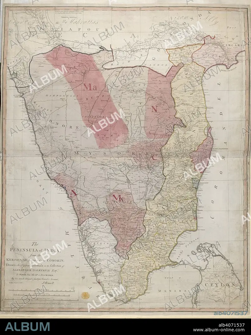
JAMES RENNELL. Peninsula of India. The Peninsula of India from the India from the Kri. 1788. Map of The Peninsula of India from the India from the Krishnah River to Cape Comorin. Image taken from The Peninsula of India from the India from the Krishnah River to Cape Comorin, drawn chiefly from materials in the collection of Alexr Dalrymple, Esq., by J. Rennell. Originally published/produced in 1788. . Source: Maps.K.Top.115.65,.
| Teilen |
|---|
 Pinterest Pinterest |
 Twitter Twitter |
 Facebook Facebook |
 Link kopieren Link kopieren |
 Email Email |
|
Zu einem anderen Lightbox hinzufügen |
|
Zu einem anderen Lightbox hinzufügen |


Haben Sie bereits ein Konto? Anmelden
Sie haben kein Konto? Registrieren
Dieses Bild kaufen.
Nutzung auswählen:

Autor:
Untertitel:
Siehe automatische Übersetzung
Peninsula of India. The Peninsula of India from the India from the Kri. 1788. Map of The Peninsula of India from the India from the Krishnah River to Cape Comorin. Image taken from The Peninsula of India from the India from the Krishnah River to Cape Comorin, drawn chiefly from materials in the collection of Alexr Dalrymple, Esq., by J. Rennell. Originally published/produced in 1788. . Source: Maps.K.Top.115.65,.
Bildnachweis:
Album / British Library
Freigaben (Releases):
Bildgröße:
4464 x 5674 px | 72.5 MB
Druckgröße:
37.8 x 48.0 cm | 14.9 x 18.9 in (300 dpi)
Schlüsselwörter:
