alb2603632
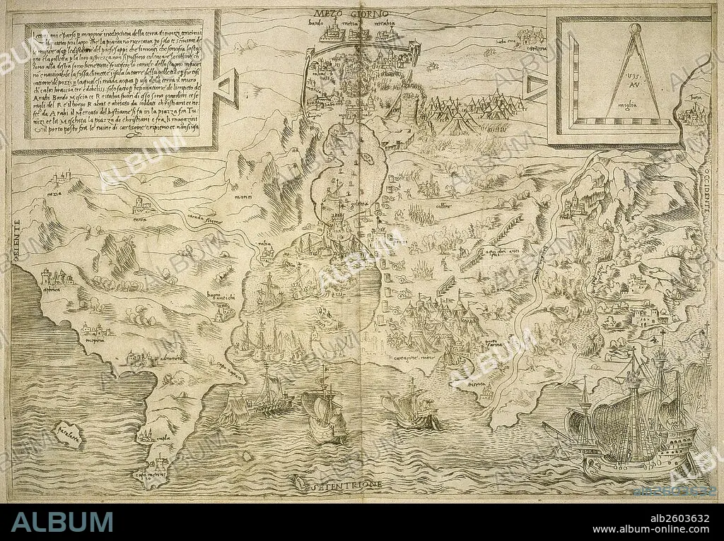
Map of the British Isles. 16th century. 1543.
| Teilen |
|---|
 Pinterest Pinterest |
 Twitter Twitter |
 Facebook Facebook |
 Link kopieren Link kopieren |
 Email Email |
|
Zu einem anderen Lightbox hinzufügen |
|
Zu einem anderen Lightbox hinzufügen |


Haben Sie bereits ein Konto? Anmelden
Sie haben kein Konto? Registrieren
Dieses Bild kaufen.
Nutzung auswählen:

Untertitel:
Siehe automatische Übersetzung
Map of the British Isles. 16th century. 1543
Bildnachweis:
Album / Prisma
Freigaben (Releases):
Model: Nein - Eigentum: Nein
Rechtefragen?
Rechtefragen?
Bildgröße:
5695 x 3967 px | 64.6 MB
Druckgröße:
48.2 x 33.6 cm | 19.0 x 13.2 in (300 dpi)
Schlüsselwörter:
16. JAHRHUNDERT • 16. JH. • AFRIKA • ENGLAND • EUROPA • GESCHICHTE • GRAVUR • GROSSBRITANNIEN • GROßBRITANNIEN • HISTORISCH • INSEL • KARTHOGRAFIE • KARTOGRAFIE (KARTE) • KARTOGRAPHIE • KUNST • MITTELMEER • NORDAFRIKA • NORDEN • STICH (KUNST) • WISSENSCH.: KARTOGRAPHIE • ZEITGESCHICHTE
