alb4539003
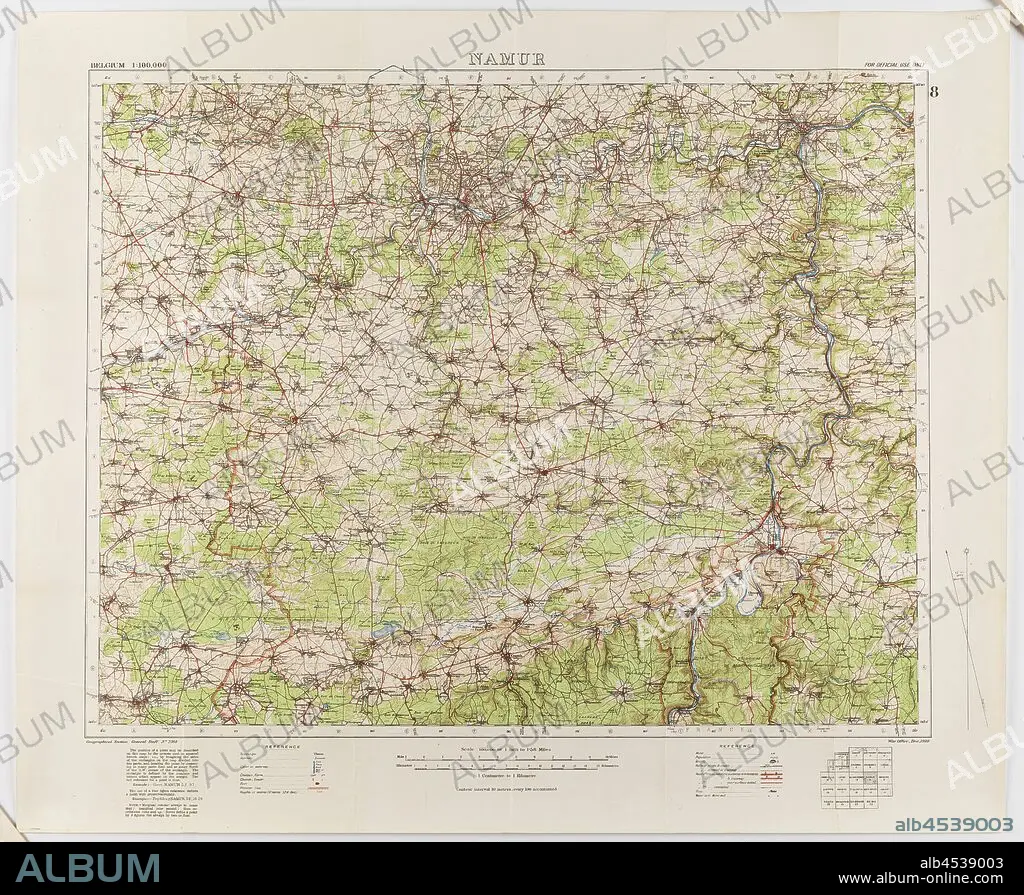
Map - Military, Belgium, Namur 8, General Staff no. 2364, Scale 1:100,000, World War I, 1910, Military map of Belgium, Namur area (a hand-written inscription identifies it as Namur 8 district), scale 1:100,000, published in 1910. The map is labelled General Staff No. 2364. It would have been used during World War I. Maps of this scale lacked the detail needed for trench warfare, instead providing an overview of regions for the use of senior commanders. Part of the collection of World.
| Teilen |
|---|
 Pinterest Pinterest |
 Twitter Twitter |
 Facebook Facebook |
 Link kopieren Link kopieren |
 Email Email |
|
Zu einem anderen Lightbox hinzufügen |
|
Zu einem anderen Lightbox hinzufügen |


Haben Sie bereits ein Konto? Anmelden
Sie haben kein Konto? Registrieren
Dieses Bild kaufen.
Nutzung auswählen:

Untertitel: Siehe automatische Übersetzung
Map - Military, Belgium, Namur 8, General Staff no. 2364, Scale 1:100,000, World War I, 1910, Military map of Belgium, Namur area (a hand-written inscription identifies it as Namur 8 district), scale 1:100,000, published in 1910. The map is labelled General Staff No. 2364. It would have been used during World War I. Maps of this scale lacked the detail needed for trench warfare, instead providing an overview of regions for the use of senior commanders. Part of the collection of World
Map - Military, Belgium, Namur 8, General Staff no. 2364, Scale 1:100,000, World War I, 1910, Military map of Belgium, Namur area (a hand-written inscription identifies it as Namur 8 district), scale 1:100,000, published in 1910. The map is labelled General Staff No. 2364. It would have been used during World War I. Maps of this scale lacked the detail needed for trench warfare, instead providing an overview of regions for the use of senior commanders. Part of the collection of World
Bildnachweis: Album / quintlox
Freigaben (Releases): ? Modellfreigabe: Nein - ? Eigentumsfreigabe: Nein
Rechtefragen?
Rechtefragen?
Bildgröße: 3900 × 3207 px | 35.8 MB
Druckgröße: 33.0 × 27.2 cm | 1535.4 × 1262.6 in (300 dpi)
Schlüsselwörter: 1. WELTKRIEG • BELGIEN • ERSTER WELTKRIEG • FIRST WORLD WAR • KARTE (KARTHOGRAFIE) • KARTEN • KARTHOGRAPHIE • KRIEG, ERSTER WELTKRIEG • KRIEG, WELTKRIEG I • LANDKARTE • PLAN (KARTOGRAPHIE) • REGIONEN • WELT • WELTKRIEG I • WORLD WAR 1 • WORLD WAR I • WORLD WAR ONE • WWI
