alb1650398
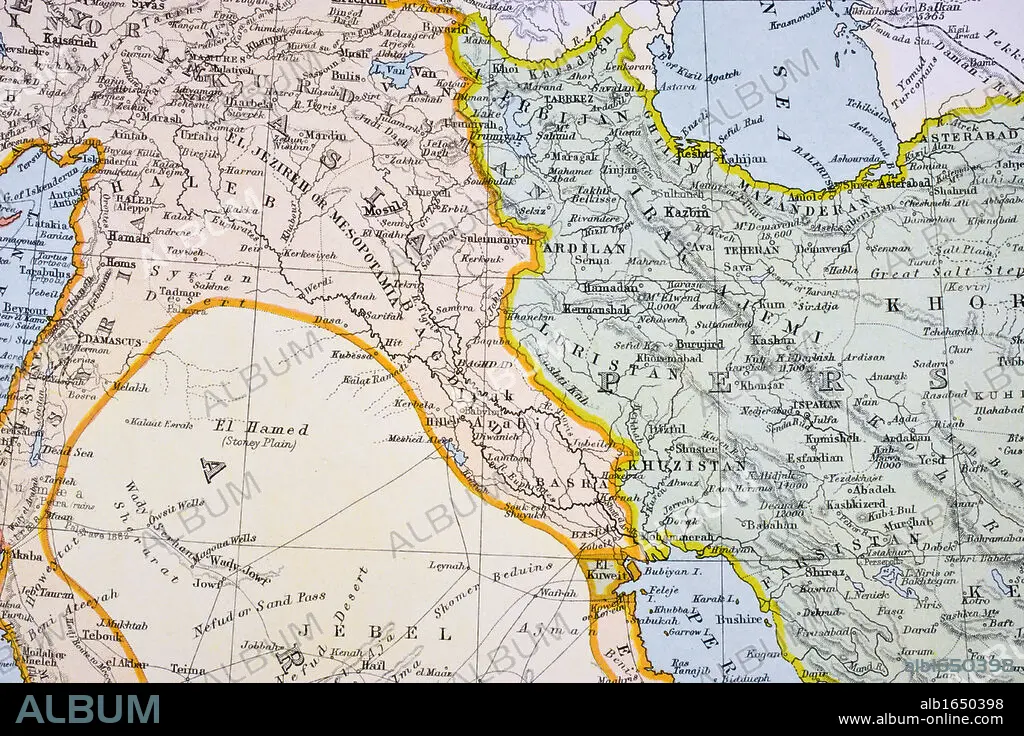
Partial map of Turkey Kurdistan Iraq Persia Middle East in 1890s From The Citizen's Atlas of the World published London circa 1899.
| Teilen |
|---|
 Pinterest Pinterest |
 Twitter Twitter |
 Facebook Facebook |
 Link kopieren Link kopieren |
 Email Email |
|
Zu einem anderen Lightbox hinzufügen |
|
Zu einem anderen Lightbox hinzufügen |


Haben Sie bereits ein Konto? Anmelden
Sie haben kein Konto? Registrieren
Dieses Bild kaufen.
Nutzung auswählen:

Untertitel:
Siehe automatische Übersetzung
Partial map of Turkey Kurdistan Iraq Persia Middle East in 1890s From The Citizen's Atlas of the World published London circa 1899
Bildnachweis:
Album / Universal History Archive/Universal Images Group
Freigaben (Releases):
Bildgröße:
5457 x 3638 px | 56.8 MB
Druckgröße:
46.2 x 30.8 cm | 18.2 x 12.1 in (300 dpi)
Schlüsselwörter:
FARBE • FARBIG • HORIZONTALE • IRAK • IRAN • KARTE (KARTHOGRAFIE) • KARTEN • KARTHOGRAPHIE • KEN • LANDKARTE • MYTHEN: PERSISCH • ORIENT • OST • OSTEN • PERSISCH • PERSISCHE MYTHEN • PERSISCHE • PLAN (KARTOGRAPHIE) • TÜRKEI
