alb9388817
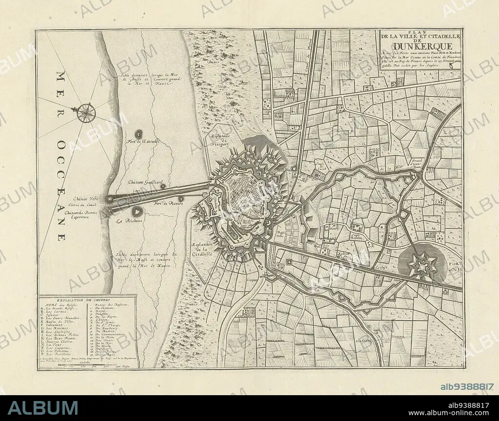
Map of Dunkirk, 1711, Plan de la ville et citadelle de Dunkerque (title on object), Map of Dunkirk, 1711. Legend A-P and 1-17 at bottom left. Part of a bundled collection of plans of battles and cities famous in the War of the Spanish Succession., print maker: J.G. Harrewijn (II) (mentioned on object), publisher: Eugene Henry Fricx (mentioned on object), Brussels, 1711, paper, etching, height 382 mm × width 480 mm.
| Teilen |
|---|
 Pinterest Pinterest |
 Twitter Twitter |
 Facebook Facebook |
 Link kopieren Link kopieren |
 Email Email |
|
Zu einem anderen Lightbox hinzufügen |
|
Zu einem anderen Lightbox hinzufügen |


Haben Sie bereits ein Konto? Anmelden
Sie haben kein Konto? Registrieren
Dieses Bild kaufen

Untertitel:
Siehe automatische Übersetzung
Map of Dunkirk, 1711, Plan de la ville et citadelle de Dunkerque (title on object), Map of Dunkirk, 1711. Legend A-P and 1-17 at bottom left. Part of a bundled collection of plans of battles and cities famous in the War of the Spanish Succession., print maker: J.G. Harrewijn (II) (mentioned on object), publisher: Eugene Henry Fricx (mentioned on object), Brussels, 1711, paper, etching, height 382 mm × width 480 mm
Bildnachweis:
Album / quintlox
Freigaben (Releases):
Model: Nein - Eigentum: Nein
Rechtefragen?
Rechtefragen?
Bildgröße:
5100 x 4038 px | 58.9 MB
Druckgröße:
43.2 x 34.2 cm | 17.0 x 13.5 in (300 dpi)
Schlüsselwörter:
