alb3548831
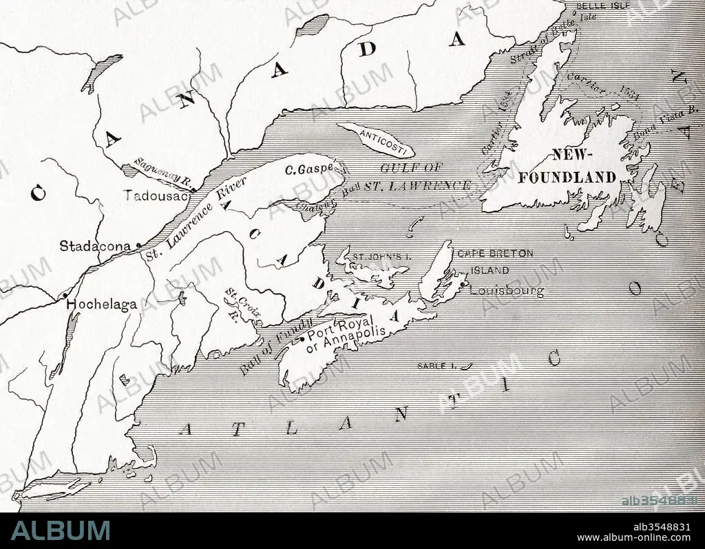
Map of Acadia, 17th century colony of New France in northeastern North America, and the water highway to Canada
| Teilen |
|---|
 Pinterest Pinterest |
 Twitter Twitter |
 Facebook Facebook |
 Link kopieren Link kopieren |
 Email Email |
|
Zu einem anderen Lightbox hinzufügen |
|
Zu einem anderen Lightbox hinzufügen |


Haben Sie bereits ein Konto? Anmelden
Sie haben kein Konto? Registrieren
Dieses Bild kaufen.
Nutzung auswählen:

Titel:
Map of Acadia, 17th century colony of New France in northeastern North America, and the water highway to Canada
Untertitel:
Siehe automatische Übersetzung
Map of Acadia, 17th century colony of New France in northeastern North America, and the water highway to Canada. From The History of Our Country, published 1899
Bildnachweis:
Album / Universal Images Group / Universal History Archive
Freigaben (Releases):
Bildgröße:
5075 x 3690 px | 53.6 MB
Druckgröße:
43.0 x 31.2 cm | 16.9 x 12.3 in (300 dpi)
Schlüsselwörter:
17. JAHRHUNDERT • 17. JH. • AMERIKA • AMERIKA, KONTINENT • AMERIKANERIN • AMERIKANISCH (US) • AMERIKANISCH • AUTOBAHN • FRANZOESISCH • FRANZOSE • FRANZÖSIN • GEOGRAFIE • GEOGRAPHIE • HIGHWAY • KARTE (KARTHOGRAFIE) • KARTE • KARTEN • KARTHOGRAPHIE • KOLONIE • KONTINENT: AMERIKA • LAENDER • LANDKARTE • LÄNDER • NORDEN • PLAN (KARTOGRAPHIE) • US-AMERIKANISCH • USA • USA-VEREINIGE STAATEN • VIER ELEMENTE: WASSER • WASSER • WASSER, VIER ELEMENTE
