alb3511781
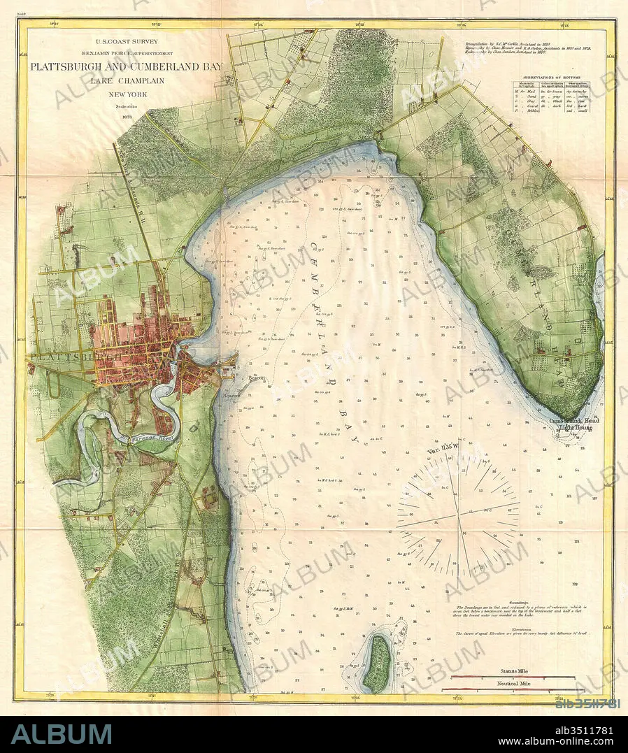
1872, U.S. Coast Survey Map of Plattsburgh and Lake Champlain, New York.
| Teilen |
|---|
 Pinterest Pinterest |
 Twitter Twitter |
 Facebook Facebook |
 Link kopieren Link kopieren |
 Email Email |
|
Zu einem anderen Lightbox hinzufügen |
|
Zu einem anderen Lightbox hinzufügen |


Haben Sie bereits ein Konto? Anmelden
Sie haben kein Konto? Registrieren
Dieses Bild kaufen

Untertitel:
Siehe automatische Übersetzung
1872, U.S. Coast Survey Map of Plattsburgh and Lake Champlain, New York
Bildnachweis:
Album / quintlox
Freigaben (Releases):
Model: Nein - Eigentum: Nein
Rechtefragen?
Rechtefragen?
Bildgröße:
4560 x 5202 px | 67.9 MB
Druckgröße:
38.6 x 44.0 cm | 15.2 x 17.3 in (300 dpi)
Schlüsselwörter:
ALT (ALTER) • ALTERTÜMLICH • ANTIK • ENTDECKUNG • ERKUNDUNG • GEGEND • GEOGRAFIE • GEOGRAPHIE • GEOMETRISCH • GEOMETRISCHE ORNAMENTE • GESCHICHTE • HISTORISCH • ILLUSTRATION • ILLUSTRATIONS • JAHRGANG • KARTE (KARTHOGRAFIE) • KARTE • KARTEN • KARTHOGRAFIE • KARTHOGRAPHIE • KARTOGRAFIE (KARTE) • KARTOGRAPHIE • KUNST • LANDKARTE • NAVIGATION • NEW YORK • NEW YORK, USA • ORNAMENT: GEOMETRISCH • PAPIER • PLAN (KARTOGRAPHIE) • REISE • REISENDER • TOPOGRAPHIE • WALZ • WELT • WELTRAUM • WISSENSCH.: KARTOGRAPHIE • ZEITGESCHICHTE
