alb5092835
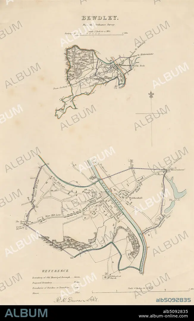
Map of Bewdley from the Ordnance Survey, Print made by Robert Kearsley Dawson, 17981861, British, undated, Etching with hand coloring on moderately thick, slightly textured, cream wove paper, Sheet: 13 9/16 x 8 7/16 inches (34.4 x 21.4 cm) and Image: 10 3/4 x 7 inches (27.3 x 17.8 cm), architectural subject, boundaries, cartographic material, cartography, key (text), map, river, scale (rule), still life, streets, town, Bewdley, England, Hereford and Worcester, Severn, United Kingdom.
| Teilen |
|---|
 Pinterest Pinterest |
 Twitter Twitter |
 Facebook Facebook |
 Link kopieren Link kopieren |
 Email Email |
|
Zu einem anderen Lightbox hinzufügen |
|
Zu einem anderen Lightbox hinzufügen |


Haben Sie bereits ein Konto? Anmelden
Sie haben kein Konto? Registrieren
Dieses Bild kaufen.
Nutzung auswählen:

Untertitel:
Siehe automatische Übersetzung
Map of Bewdley from the Ordnance Survey, Print made by Robert Kearsley Dawson, 17981861, British, undated, Etching with hand coloring on moderately thick, slightly textured, cream wove paper, Sheet: 13 9/16 x 8 7/16 inches (34.4 x 21.4 cm) and Image: 10 3/4 x 7 inches (27.3 x 17.8 cm), architectural subject, boundaries, cartographic material, cartography, key (text), map, river, scale (rule), still life, streets, town, Bewdley, England, Hereford and Worcester, Severn, United Kingdom
Bildnachweis:
Album / quintlox
Freigaben (Releases):
Bildgröße:
3177 x 4992 px | 45.4 MB
Druckgröße:
26.9 x 42.3 cm | 10.6 x 16.6 in (300 dpi)
Schlüsselwörter:
ABDRUCK • ENGLAND • GROSSBRITANNIEN • KARTE (KARTHOGRAFIE) • KARTEN • KARTHOGRAFIE • KARTHOGRAPHIE • KARTOGRAFIE (KARTE) • KARTOGRAPHIE • LANDKARTE • LEBEN • PLAN (KARTOGRAPHIE) • SCHLUESSEL • SCHLÜSSEL • STADT • STRASSEN • STÄDTE • TEXT • WISSENSCH.: KARTOGRAPHIE
